...

By Anna Skinner
Associate News Editor
0
Share
Newsweek is a Trust Project member
See more of our trusted coverage when you search.Prefer Newsweek on Googleto see more of our trusted coverage when you search.
National Weather Service (NWS) meteorologists have issued blizzard warnings across several states, warning of impossible travel conditions potentially leading to people getting stranded once the storm hits.
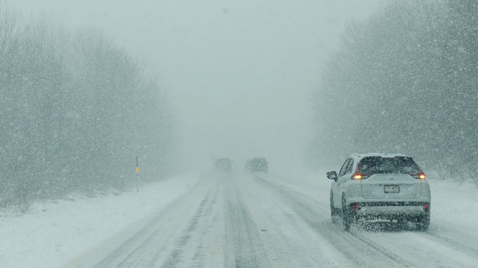
The mid-Atlantic region is bracing for a significant winter storm system expected to trigger widespread travel disruptions. The predicted hazardous conditions—marked by heavy snowfall, high winds and periods of low visibility—pose life-threatening risks for travelers. In some cases, travel will become impossible, and people are urged to stay with their vehicle if they get stranded.
NWS lead meteorologist Kevin Rodriguez told Newsweek that although blizzards in this area are not uncommon, they do typically occur later in the winter weather months.
Read More on U.S.
The NWS has issued multiple urgent blizzard warnings effective from 10 a.m. Wednesday through 10 a.m. Thursday for regions including the West Virginia counties of Greenbrier, Tucker, Preston, Grant, Pendleton, Webster, Pocahontas and Randolph, along with Garrett County, Maryland.
...
According to NWS advisories, blizzard conditions are defined as frequent wind gusts of 35 mph or higher, accompanied by blowing and falling snow that reduces visibility to less than one-quarter mile for three hours or more. The current warnings specify expected total snow accumulations of 3 to 12 inches across the affected regions, with wind gusts reaching as high as 60 mph. Hazardous travel conditions are anticipated, with warnings noting that roads, bridges and overpasses may become slick or impassable, and widespread blowing snow could trigger whiteout.
"Plan on nearly impossible travel. Widespread blowing snow could significantly reduce visibility," NWS Baltimore said in the blizzard warning. "The hazardous conditions will impact the Wednesday evening and Thursday morning commutes. Gusty winds could bring down tree branches."
Residents are strongly advised to limit travel to emergencies only.
Impacts are expected to be most severe during the Wednesday evening and Thursday morning commutes. There may also be power outages, as gusty winds could topple tree branches and power lines. In certain regions, the NWS notes, a temporary lull in snow accumulation could occur Wednesday afternoon, but strong winds will persist, sustaining hazardous conditions and low visibility into Thursday morning.
Blizzard warnings will remain in effect through Thursday morning for most impacted counties, with winter weather advisories in place as well and affecting an even more widespread area. Even after official warnings lift, hazardous travel conditions—such as icy roadways and limited visibility—could persist as crews work to clear roads and restore utilities.
View 0 Comments
Submit Correction
View Editorial & AI Guidelines