...

By Amanda Greenwood
Associate News Editor
0
Share
Newsweek is a Trust Project member
See more of our trusted coverage when you search.Prefer Newsweek on Googleto see more of our trusted coverage when you search.
Blizzard warnings have been issued to multiple states across the Midwest and Great Lakes region, according to the National Weather Service (NWS), which says that a "potent" winter storm is expected to bring blizzards and hazardous driving conditions during the post-holiday travel period.
What To Know
Six states have been issued with blizzard warnings, including Minnesota, North Dakota, Wisconsin, Iowa, New York, and Michigan.
Read More on News
...
Michigan
Total snow accumulations of between 12 and 18 inches, and 45 mph winds, are expected in Gogebic and Ontonagon Counties from Sunday through Monday afternoon, causing blizzard-like conditions, likely to affect commutes on Monday, and post-holiday travel plans.
From Sunday night through to Monday night, the following counties should also prepare for blizzard conditions and poor travel conditions:
Delta, northern, and southern Schoolcraft should expect to see up to 19 inches of snow and 50 mph wind gusts—with the most falling over northern Schoolcraft.
Luce could get up to 20 inches of snow, and Alger and Marquette between 15 and 24 inches (with the highest amounts falling over higher areas) and up to 60 mph winds—especially near Lake Superior.
Baraga, Keweenaw, northern Houghton, and southern Houghton could get up to 21 inches of snow and 65 mph winds—the highest winds are forecast to hit the Keweenaw Peninsula, north of Houghton—making travel “very difficult to impossible.”
Dickinson, Iron, and Menominee could get up to 15 inches of snow and 45 mph winds, potentially causing “localized blizzard conditions.”
Minnesota
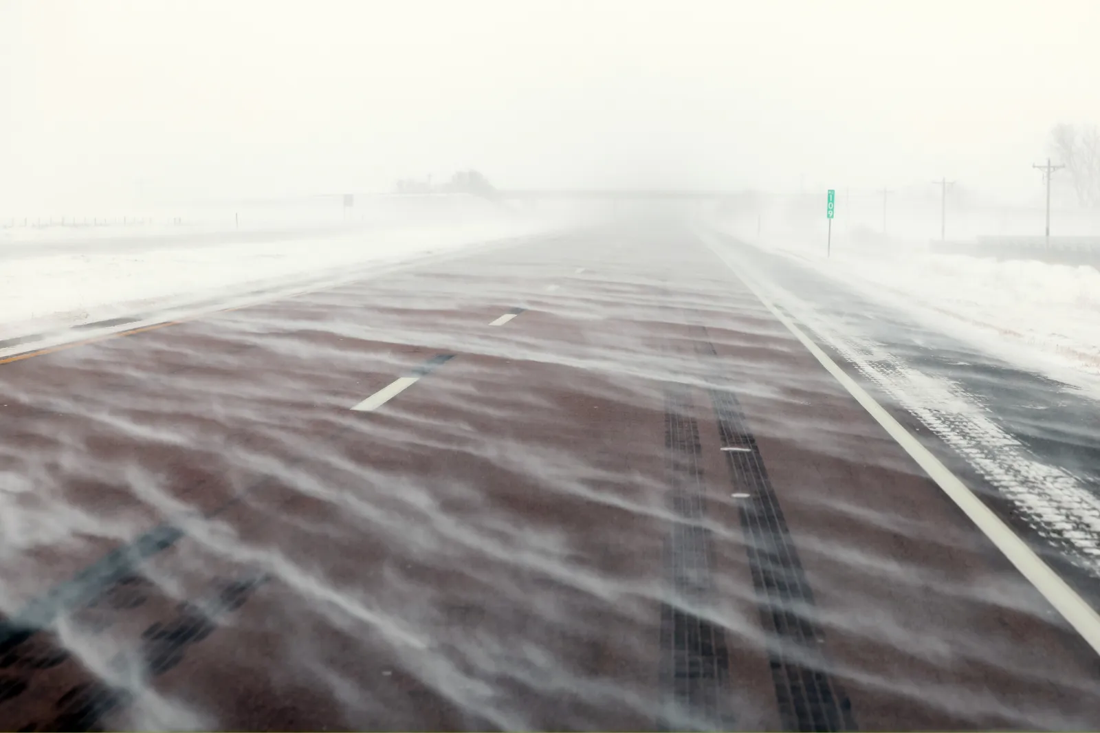
From Sunday morning until Monday morning, parts of central, northwest, and west central Minnesota could get snow accumulations of up to 5 inches with winds as high as 45 mph, prompting the NWS to warn residents and travelers that “Ground blizzards create whiteout conditions that make travel extremely dangerous or impossible.”
Dodge, Fillmore, Mower, and Olmsted Counties could get up to 7 inches of snow and 45 mph winds from midday Sunday to Monday morning, and Redwood, Chippewa, Lac Qui Parle, Stevens, Swift, Yellow Medicine, Brown, Martin, and Watonwan Counties could get up to 4 inches and 55 mph winds from Sunday morning, lasting until Monday morning.
North Dakota
Parts of northeast and southeast North Dakota are expected to get between 3 and 5 inches of snow with 45 mph wind gusts from Sunday morning through to Monday. According to the NWS, whiteout conditions are possible and will affect travel.
Iowa
Blizzard conditions are expected in Floyd, Mitchell, Chickasaw, and Howard counties from around noon on Sunday to Monday morning, with up to 6 inches of accumulated snow and 45 mph winds forecast, causing visibility to fall below a quarter of a mile, due to blowing snow.
Parts of north central and northwest Iowa could get up to 3 inches and 50 mph winds from Sunday through Monday morning.
Wisconsin
From noon on Sunday until Monday, northern and east-central Ashland County should prepare for between 11 and 15 inches of snow, and northern Iron County between 14 and 18 inches, with both expected to get winds as high as 45 mph, with “whiteout conditions” making travel “treacherous and potentially life-threatening, especially along Highway 2 on the South Shore.”
New York
Wyoming, Chautauqua, Cattaraugus, and southern Erie Counties could get up to 2 feet of snow and 65 mph winds—creating “blowing and drifting snow and whiteout conditions”—from Monday afternoon until Friday, and the Eastern Lake Ontario region should expect similar conditions until Saturday.
The NWS said, in a short-term forecast issued on Sunday: “The next big storm system is forecast to rapidly intensify along the Arctic front over the Midwest tomorrow, before tracking through the Great Lakes on Monday. A slew of winter weather hazards are expected to accompany this storm beginning late tomorrow, including blizzard conditions and over a foot of snowfall over portions of the Upper Midwest and Great Lakes.”
The NWS for Michigan warned that: “Travel should be restricted to emergencies only. If you must travel, have a winter survival kit with you. If you get stranded, stay with your vehicle.”
The NWS for Wisconsin said: “Do not travel unless you must due to emergencies only. If you must travel, especially along Highway 2 on the South Shore. If you get stranded, stay with your vehicle.”
The NWS for New York said: “Whiteout conditions are expected starting Monday afternoon and will make travel treacherous and potentially life-threatening. Travel could be nearly impossible. The hazardous conditions will impact travel through the week.”
Those planning to travel over the next few days should monitor local weather forecasts closely for updates, and consider delaying all travel in and out of affected areas.
View 0 Comments
Submit Correction
View Editorial & AI Guidelines