...

By Anna Skinner
Associate News Editor
0
Share
Newsweek is a Trust Project member
See more of our trusted coverage when you search.Prefer Newsweek on Googleto see more of our trusted coverage when you search.
A strong storm system known as a bomb cyclone is lining up to slam the U.S. on Christmas Eve, possibly complicating holiday travel and bringing gusty winds that could cause power outages.
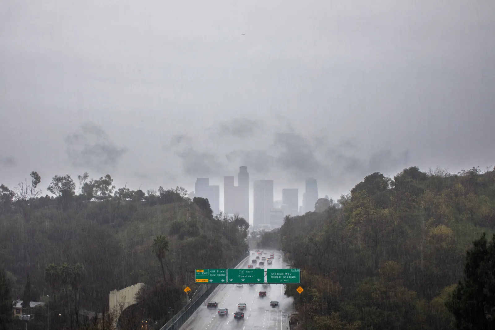
The forecast comes as much of California remains under some form of National Weather Service (NWS) alert on Monday as an atmospheric river inundates the state with heavy rain and mountain snow. Conditions are expected to worsen as the week progresses, with a bomb cyclone set to slam the West Coast on Christmas Eve.
A bomb cyclone is a storm that rapidly intensifies when cold air hits warm ocean water, according to the Weather Channel.
Read More on U.S.
...
"A bomb cyclone is likely to develop off the coast of California Christmas Eve that could bring a severe windstorm to Northern California," extreme weather chaser Colin McCarthy posted on X. "High Wind Watches have just been issued for the entire Bay Area for wind gusts up to 60 mph, but if more aggressive model forecasts pan out I wouldn't be shocked to see 70+ mph in the higher terrain and along the coastline. A very strong cold front with potentially embedded severe thunderstorms will also come ashore late Tuesday night/early Wednesday morning in Central/Northern California that could mix very intense 60+ mph wind gusts to the surface. Given strong wind shear, can also not rule out a tornado or two."
Meteorologists have been warning about the unsettled weather change for roughly a week, and NWS meteorologist Matt Mehle told Newsweek that a "notable pattern change" will hit the Golden State only days before Christmas with a strong, potent storm system.
"The storm providing the atmospheric rivers has the potential to become a bomb cyclone off the California coast," AccuWeather Meteorologist Brandon Buckingham said in a report. "Regardless of whether the storm rapidly strengthens and experiences the required 24 millibars of pressure drop in 24 hours (0.71 of an inch of mercury), the storm will intensify enough to create strong winds along the coast of Northern and Central California."
Strong winds are already prompting meteorologists to issue alerts. A high wind watch is in place for Northern California. It will go into effect on Tuesday night for Mendocino County, Lake County, and the San Francisco Bay Area.
The alert warned of winds between 25 and 35 mph, with some gusts hitting up to 65 mph. A map from AccuWeather showed strong winds hitting Redding, California, with gusts up to 70 mph. San Francisco also could see gusts up to 70 mph, with Medford, Oregon, and Reno, Nevada, expecting gusts up to 60 mph.
"Damaging winds could blow down trees and power lines," NWS Eureka said in the high wind watch. "Widespread power outages are possible. Travel could be difficult, especially for high profile vehicles."
View 0 Comments
Submit Correction
View Editorial & AI Guidelines