...

By Anna Skinner
Associate News Editor
0
Share
Newsweek is a Trust Project member
See more of our trusted coverage when you search.Prefer Newsweek on Googleto see more of our trusted coverage when you search.
A powerful heat dome parked over the southwestern United States, including California, where temperatures are soaring under early‑season heat, is helping drive a persistent atmospheric river that is now unloading heavy rain across Washington.
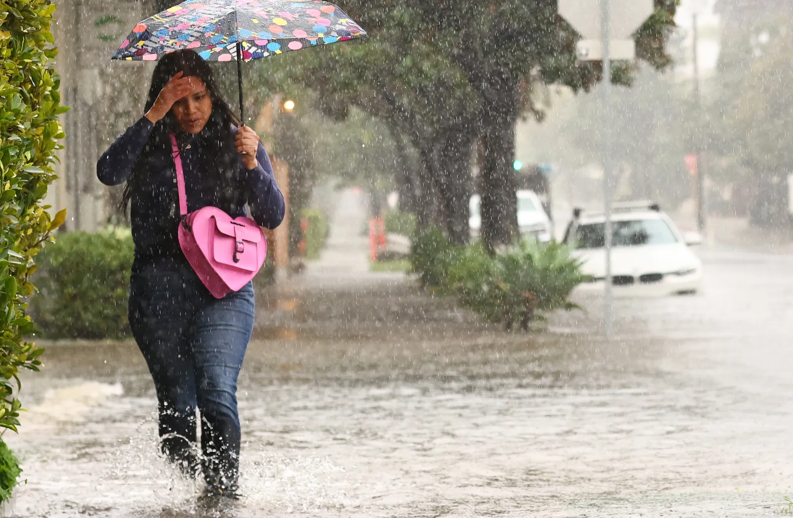
AccuWeather meteorologists report that a strong heat dome over the Southwest is creating a zone of very warm, dry air that forces storms northward, a setup that shunts a continuous plume of moisture across Washington. Numerous flood-related alerts from the National Weather Service (NWS) remain in place across Washington on Friday.
"March, 2026 may be remembered for one of the most unbalanced springs in recent memory," WeatherNation posted on X. "While most of the west is baking under a high-pressure heat dome, that very same high pressure is directing nonstop heavy rain into Washington! All this heavy rain is even melting snow in the Cascades!"
Read More on Weather
...
Meteorologists say the same high‑pressure system responsible for California’s unusual warmth is steering a firehose of Pacific moisture northward, feeding a Pineapple Express-type storm drenching the Pacific Northwest.
"The high pressure in the Southwest has made it so that the storm track is more focused on the Northwest," NWS meteorologist Maddie Kristell told Newsweek.
What is a Pineapple Express?
A Pineapple Express is a specific type of atmospheric river distinguished by its origins near Hawaii. These systems form when a long, moisture‑rich corridor of warm Pacific air stretches from the tropical region around the Hawaiian Islands to the U.S. West Coast, transporting vast amounts of water vapor. Because this plume taps into warmer, more humid air than typical winter storms, it can deliver prolonged periods of heavy rain, elevated snow levels, and widespread flooding risk across the Pacific Northwest.
Washington Rain Forecast
Rain will continue to fall through the early afternoon and will begin to taper off later in the evening, Kristell said. Spotty showers will occur through Saturday, with a separate system beginning more rain into the area on Monday night and Tuesday next week.
Washington has already seen multiple waves of rain as the atmospheric river continues to pummel the region. AccuWeather forecasts widespread rainfall totals of 1 to 4 inches across lower elevations in western Washington, with 4 to 8 inches on the wind‑facing slopes of the Olympics, Coast Mountains and Cascades. Some areas may reach a localized peak near 13 inches, raising the risk of moderate to major flooding.
The extreme contrast between California’s heat and the Pacific Northwest’s flooding conditions highlights how a single high‑pressure system can shape weather across vast stretches of the West. With the heat dome still strengthening, meteorologists warn that both record warmth in California and heavy rain in Washington may continue in tandem.
View 0 Comments
Submit Correction
View Editorial & AI Guidelines