
...

By Alice Gibbs
Senior Reporter
0
Share
Newsweek is a Trust Project member
See more of our trusted coverage when you search.Prefer Newsweek on Googleto see more of our trusted coverage when you search.
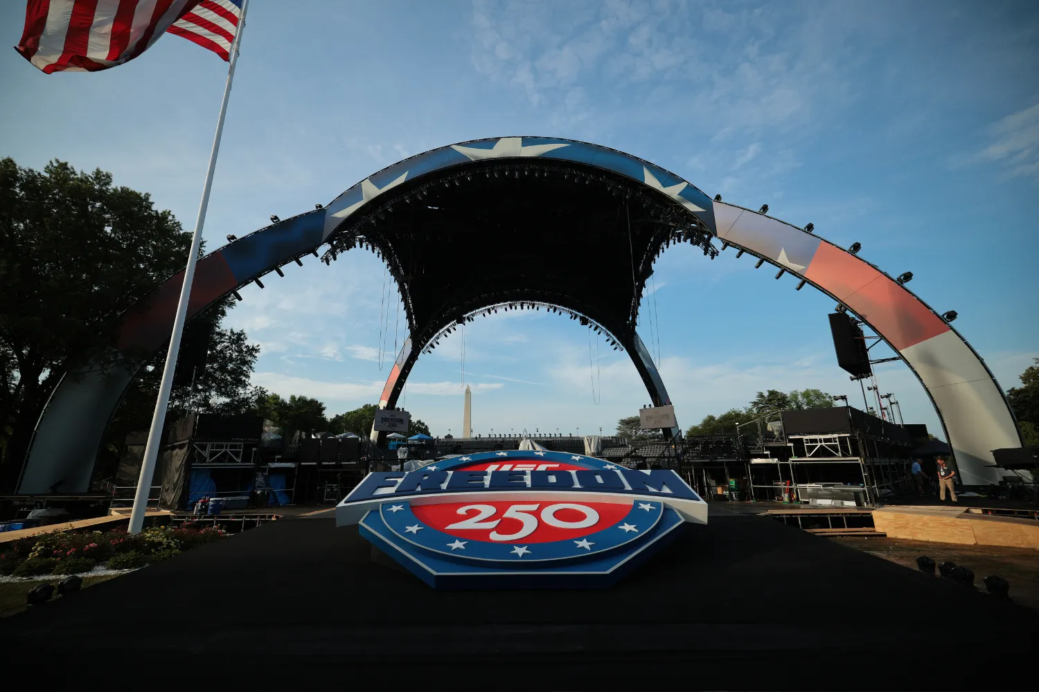
A combination of extreme heat and a risk of thunderstorms is forecast for Washington, D.C., on Sunday, potentially affecting plans around a major UFC Freedom 250 event being held as part of celebrations to mark the 250th anniversary of the signing of the Declaration of Independence, and on President Donald Trump's 80th birthday.
Forecasters are warning that hot, humid conditions could give way to scattered afternoon storms, with the potential for downpours, lightning and gusty winds across the Mid-Atlantic region.
While organizers have not indicated any changes to the event schedule, meteorologists say the timing of the weather system could intersect with outdoor activities.
Read More
Live Cam Shows ‘8647’ Visible on National Mall Hours Before Police Arrive4 min read

Man Paid $1,400 for World Cup Tickets—Then FIFA ‘Killed the Dream’3 min read

Do Ring Girls’ Outfits for Trump UFC Fight Breach the Flag Code?6 min read

Thunderstorm Risk Across Mid-Atlantic
According to the National Oceanic and Atmospheric Administration’s Storm Prediction Center (SPC), parts of the Mid-Atlantic—including Washington, D.C., Baltimore and surrounding areas—face a “slight risk” of severe thunderstorms on June 14.
That designation means isolated severe storms are possible, with the primary hazards identified as damaging wind gusts.
In a forecast discussion, the SPC said: “scattered thunderstorms may develop… and pose a risk mainly for damaging gusts” as a cold front moves into a warm, moisture-rich air mass.
A broader swath of the Eastern U.S. is under a lower-level “marginal risk,” highlighting the potential for unsettled weather extending from the Southeast into the Northeast.

NOAA / National Weather Service
Heat, Humidity and Storm Timing
Separate forecasts point to high temperatures around 93°F in the capital, with “real feel” values approaching 102°F due to humidity, prompting a severe heat warning.
"Dangerously hot conditions with temperatures between 95 and 100 degrees F expected," says the NWS. "Peak heating days will be Sunday and Monday with a slight cool down on Tuesday. Overnight temperatures will remain elevated Sunday night into Monday morning, and Monday night into Tuesday morning."
Meteorologists say the day is expected to start hot and bright, with cloud cover building through the afternoon—conditions that can help fuel storm development later in the day.
There is currently a 55 percent chance of precipitation and roughly a one-in-three chance of thunderstorms, while wind gusts could reach around 34 mph in stronger cells. Forecasters are warning that lightning and brief heavy rainfall could disrupt outdoor activity.
While there is no certainty that the weather will cause problems for the UFC Freedom 250 event at the White House, many are watching closely. On prediction market site Polymarket, there is currently a 46 percent chance of a weather delay at the UFC event.

NOAA / National Weather Service
What It Means for the Event
The combination of extreme heat and the potential for storms presents a dual challenge, particularly for large gatherings outdoors.
Heat indices above 100°F can increase the risk of heat-related illness, while even isolated thunderstorms can lead to temporary stoppages or safety delays if lightning is detected nearby.
At this stage, however, forecasts emphasize that storms are expected to be scattered rather than widespread, meaning impacts could vary significantly across short distances.
...
What to Watch
Forecasters say the key uncertainty is how quickly storms develop and where they track as the cold front approaches.
If storms form earlier in the afternoon, disruption risks increase. If development holds off until later in the evening, much of the day’s scheduled activity could proceed without interruption.
Weather conditions are expected to become clearer once the front moves through, with less humid air following into the next week.
View 0 Comments
Submit Correction
View Editorial & AI Guidelines