10
Loading video...

By Anna Skinner
Associate News Editor
0
Share
Newsweek is a Trust Project member
See more of our trusted coverage when you search.Prefer Newsweek on Googleto see more of our trusted coverage when you search.
Florida beachgoers were urged to stay out of the water Wednesday as dangerous rip currents prompted the National Weather Service (NWS) to issue a string of high-risk warnings along much of the state’s Atlantic coastline, stretching from northeast Florida down through the Treasure Coast.
The warnings come during a busy stretch for Florida’s Atlantic coast as May marks a transition month for tourism, when warmer ocean temperatures and improving weather draw early-summer travelers to the beaches. While crowds are typically lighter than peak spring break or midsummer periods, tourism officials consider May a shoulder season, with steady visitor traffic that often includes families, retirees and out‑of‑state tourists unfamiliar with local ocean hazards.
Forecasters warned that rip currents, which are fast-moving channels of water that flow away from shore, could easily overpower even strong swimmers, pulling them into deeper water in a matter of seconds.
Read More on Weather
...
“Entering the surf is strongly discouraged,” the NWS said in multiple coastal hazard statements issued throughout the morning.
Newsweek reached out to the NWS office in Melbourne, Florida, by phone for comment.
High rip current risk alerts were in effect through late Wednesday night for beaches in Indian River, St. Lucie and Martin counties, as well as Volusia and Brevard counties, according to the NWS in Melbourne and Jacksonville. Additional warnings covered northeast Florida and southeast Georgia, including coastal Nassau, Duval, Flagler and St. Johns counties.
Officials stressed that rip currents are one of the leading weather-related causes of drownings in Florida and often claim victims who over-estimate their strength.
The warnings applied to a long stretch of coastline during peak daytime beach hours, raising concerns as warmer temperatures and calmer weather lured swimmers into the ocean.
“Rip currents can sweep even the best swimmers away from shore into deeper water,” the weather service said in the rip current statement.
Forecasters noted that rip currents tend to form near low spots or breaks in sandbars and around jetties, piers and other structures, where changing wave patterns can focus water into powerful outbound flows.
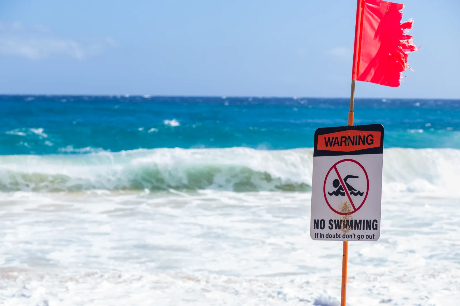
Beachgoers were urged to obey posted warnings, beach patrol flags and lifeguard instructions. Red or double-red flags typically indicate dangerous marine conditions and, in some cases, closed beaches.
While the breaking waves may appear manageable from shore, experts say rip currents are often difficult to spot, especially for visitors unfamiliar with local beach conditions.
How to Survive a Rip Current
Unlike waves that push toward the beach, rip currents move perpendicular to the shoreline, carrying water, and anything floating in it, out to sea.
They develop when waves pile water near the shore faster than it can escape, forcing water to return offshore through gaps in sandbars or near manmade structures. Despite persistent myths, rip currents do not pull swimmers under the water. Instead, they rapidly transport swimmers away from shore, where panic, exhaustion and rough conditions can quickly become life-threatening.
If caught in a rip current, the NWS advises swimmers to remain calm and float, rather than trying to fight the current. Swimming directly back to shore against a rip current can quickly lead to exhaustion. Instead, swimmers should attempt to swim parallel to the shoreline to escape the narrow current, then angle back toward land. If unable to escape, they should face the shore and wave or call for help.
Will El Niño Make Rip Currents Worse This Year?
While El Niño itself does not directly create rip currents, climate patterns associated with El Niño can increase ocean hazards along Florida’s coast by altering wind patterns and storm tracks.
El Niño refers to a warming of surface waters in the central and eastern Pacific Ocean, which can influence weather conditions across the United States. Climate officials say the odds of El Niño developing later this year are increasing, and the climate pattern could emerge in late spring or early summer if warming in the tropical Pacific continues.
Although El Niño is typically linked to fewer Atlantic hurricanes, rip current danger is driven by wave energy, swell direction and persistent winds, conditions that can occur regardless of tropical storm activity. Marine forecasters routinely monitor these broader climate signals to identify periods when rip current risks may be elevated over longer stretches of time.
However, meteorologists stress that rip currents can form any day of the year, regardless of El Niño or La Niña conditions, and that daily beach forecasts and flag systems remain the most reliable indicators of immediate danger.
View 0 Comments
Submit Correction
View Editorial & AI Guidelines