...

By Matthew Impelli
Life & Trends Reporter
0
Share
Newsweek is a Trust Project member
See more of our trusted coverage when you search.Prefer Newsweek on Googleto see more of our trusted coverage when you search.
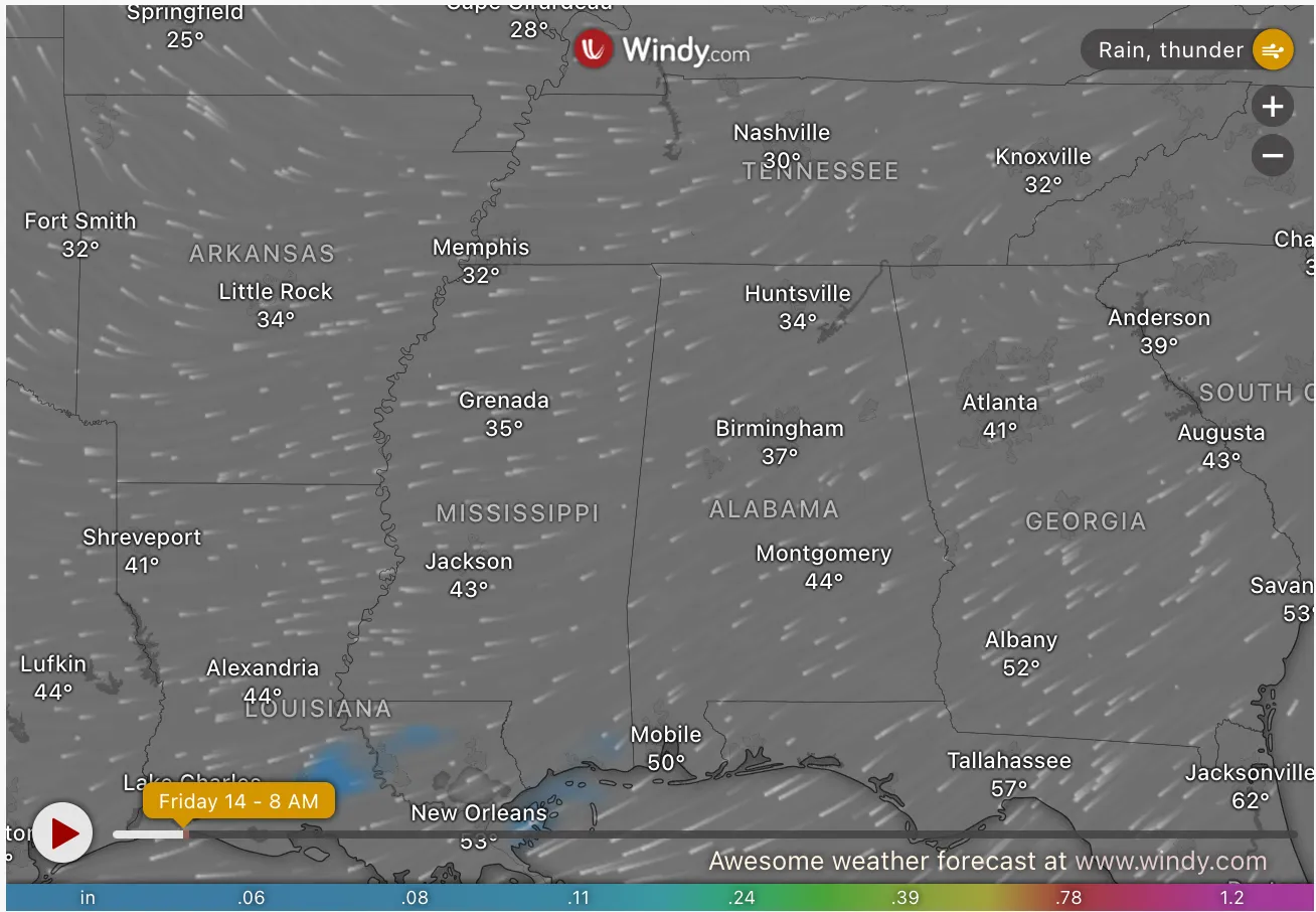
Severe thunderstorms and heavy rainfall are expected across multiple states, including Tennessee, Alabama, and Kentucky. The National Weather Service (NWS) has issued multiple warnings for flooding and severe weather, urging residents to stay informed and take necessary precautions as conditions develop.
Why It Matters
Severe weather conditions can lead to dangerous flooding, road closures, power outages, and potential property damage. With expected heavy rainfall and high water levels, emergency management officials stress the importance of preparedness.
Read More on U.S.
Residents in affected areas should monitor weather updates closely and be ready to act quickly in case of emergency alerts.
Kentucky
A flood watch remains in effect across western Kentucky and surrounding areas, including Mississippi and New Madrid counties in southeast Missouri, and parts of southern Illinois and southwest Indiana. The NWS in Paducah, Kentucky, warns of flash flooding due to excessive rainfall from late Friday night through late Saturday night. Rainfall amounts between 2 to 4 inches, with localized totals up to 6 inches, could lead to flooding in rivers, creeks, and low-lying areas.
Residents should monitor real-time weather alerts and prepare for potential flash flood warnings. The NWS advises people in flood-prone locations to remain vigilant and take necessary precautions.
Arkansas
The NWS in Little Rock, Arkansas, has issued a flood watch effective Friday night through Saturday evening for central, eastern, north-central, southeast, and southwest Arkansas. Affected counties include Faulkner, Garland, Grant, Pulaski, Saline, Monroe, and Prairie.
Projected rainfall totals range from 1 to 3 inches, with isolated areas seeing even higher amounts. The NWS warns that excessive runoff could lead to flooding in urban areas, rivers, and low-lying locations. The public is urged to stay updated on forecasts and prepare for possible emergency alerts.
Tennessee
A widespread flood watch remains active across west Tennessee, east Arkansas, north Mississippi, and southeast Missouri, per the NWS in Memphis, Tennesse. This includes cities like Memphis, Jackson, and Dyersburg, Tennessee, as well as Jonesboro, Arkansas, and Tupelo, Mississippi.
Forecasters predict 2 to 5 inches of rainfall, with the possibility of even higher totals in certain areas. Saturated soils will contribute to dangerous flooding conditions. The NWS advises residents to prepare for road closures and rising water levels.
Alabama
A flood warning issued by the NWS in Birmingham, Alabama, remains in effect until 3 p.m. CST Friday for Cherokee County due to rising water levels on the Chattooga River above Weiss Lake.
Flooding of rivers, creeks, and flood-prone areas is ongoing, and authorities urge residents to avoid driving through flooded roads. The NWS advises the public to stay alert and follow official instructions.
Georgia
Although Georgia is not currently under a severe thunderstorm warning, adjacent systems could bring heavy rainfall and possible flash flooding. Residents should stay aware of any developing weather patterns that could trigger localized flood warnings.
What Happens Next?
Authorities urge residents in all affected areas to stay informed, monitor real-time weather maps, and follow evacuation orders if issued. The NWS recommends keeping emergency supplies on hand and preparing for potential power outages.
...
View 0 Comments
Submit Correction
View Editorial & AI Guidelines