...

By Amanda Greenwood
Associate News Editor
0
Share
Newsweek is a Trust Project member
See more of our trusted coverage when you search.Prefer Newsweek on Googleto see more of our trusted coverage when you search.
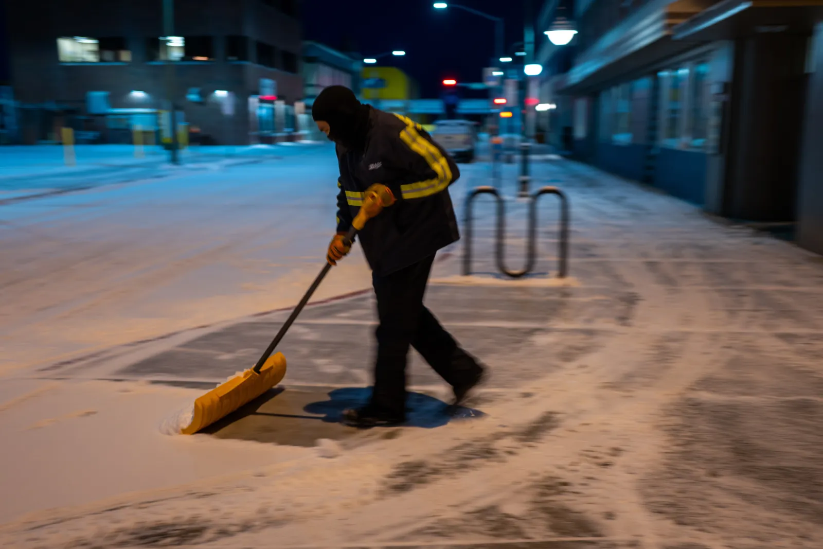
Warnings for heavy snow—reaching up to 6 inches—ice, strong winds, and wintry conditions have been issued to six states, as the National Weather Service (NWS) warns residents in affected areas to expect "hazardous conditions" through Monday.
States Affected By Heavy Snow And Winter Weather
The NWS has warned that parts of Hawaii, Maine, New Hampshire, New York, Vermont and Alaska are likely to experience wintry conditions, with most areas feeling the impact throughout Monday.
Read More on Weather
...
Hawaii
The Big Island Summits are under a winter storm warning and have been told to expect an additional 3 inches of snow and winds reaching 35 mph until Monday morning. The NWS has warned that "travel could be very difficult to impossible," because of blowing snow, which will reduce visibility to zero at times. It also warned that any plans to travel to the summits should be postponed until conditions improve.
Maine
Although parts of south central, southwest, west central, and western Maine are only likely to see light snowfall by early Monday morning, there is a risk of freezing drizzle, which, in combination with "slush from earlier snowfall," is likely to refreeze, resulting in slippery roads
New Hampshire
Light snow and freezing drizzle are expected to impact parts of northern New Hampshire, as the NWS warns it could refreeze, creating slippery roads and walkways through Monday morning.
New York
Ice and freezing drizzle are expected across parts of northern New York until Monday morning, which could affect the morning commute.
Vermont
Parts of central, northeast, northwest, and southern Vermont could get freezing drizzle and ice until Monday morning, which is likely to make sidewalks, roads, and bridges "very slippery," which might affect the morning commute.
Alaska
Prince of Wales Island, the city and borough of Wrangell, Ketchikan Gateway, Annette Island, Petersburg, Kake, and Port Alexander are forecast to get up to 5 inches of snow by Monday morning, and visibilities are expected to be less than a mile during this time. The NWS has warned that "travel by air, land, and sea" could be affected.
The city and borough of Sitka could get between 4 and 6 inches of snow and winds reaching 35 mph until mid-Monday morning.
Eastern Chichagof and Admiralty Island are expected to get up to 5 inches of snow through Monday, until Monday afternoon. The NWS has forecast that the highest snowfall is expected near Angoon and Tenakee Springs, but says that the amounts could vary if the weather system moves onto a different track than what is currently forecast.
View 0 Comments
Submit Correction
View Editorial & AI Guidelines