...

By Anna Skinner
Associate News Editor
0
Share
Newsweek is a Trust Project member
See more of our trusted coverage when you search.Prefer Newsweek on Googleto see more of our trusted coverage when you search.
Millions of Americans have already seen double their average snowfall for the period from September 30 through November 30, with data from the National Oceanic and Atmospheric Administration (NOAA) revealing above-average snowfall for 27 states.
Many of the states are also facing below-average temperatures, NWS Weather Prediction Center meteorologist Richard Otto told Newsweek.
Why It Matters
The snowfall assessment comes as much of the Midwest and Great Lakes saw heavy snow over Thanksgiving and this past weekend. More snow is expected, with the first impactful snowstorm of the season set to hit the Mid-Atlantic and New England on Monday and Tuesday, and the NWS issuing winter weather-related alerts across much of the U.S., from Kansas and Oklahoma northeast up through Maine.
Read More on U.S.
...
What to Know
On Monday morning, Washington Post meteorologist Ben Noll shared data from NOAA that revealed 27 states that had seen 200 percent or more of their average snowfall from September 30 through November 30.
"It's been a fast start to snow season in the Midwest, Great Lakes, where some areas have had more than triple their average season-to-date snowfall," Noll posted on X. "About 75 percent of the country's snow receiving areas have had below-average snow so far. That will change after Tuesday's storm."
According to the map, parts of North Dakota, South Dakota, California, Nevada, Arizona, New Mexico, Nebraska, Kansas, Minnesota, Iowa, Missouri, Wisconsin, Illinois, Indiana, Kentucky, Tennessee, Georgia, Ohio, Michigan, West Virginia, Virginia, North Carolina, South Carolina, Maryland, Pennsylvania, New York, and Vermont had seen at least 200 percent of the snowfall that is typical from September 30 through November 30.
The heavy snow comes before winter has officially started, on December 21. Meteorological winter, or the start of the coldest three months of the year, began on December 1.
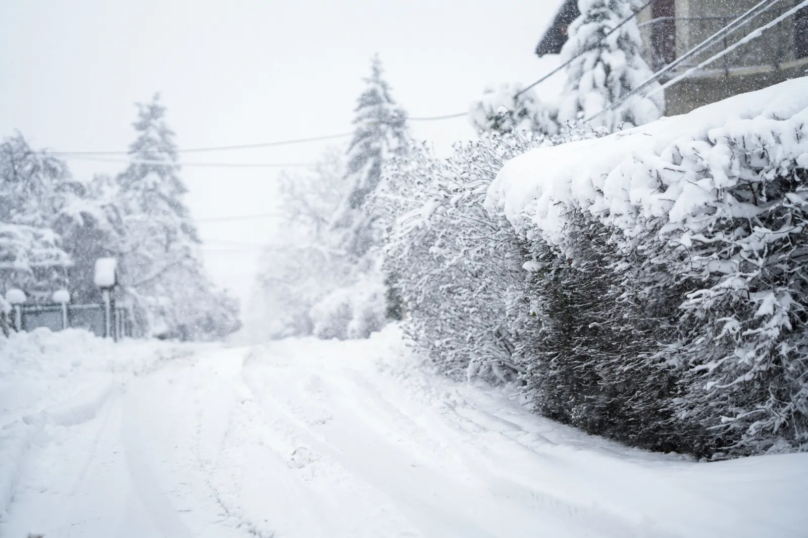
Most of the snow that has already fallen this season is concentrated in the Midwest and Great Lakes region, which weathered heavy snowstorms over Thanksgiving week. Blizzard warnings were issued in Michigan, which National Weather Service (NWS) meteorologist Greg Sova told Newsweek was earlier than normal, as blizzard warnings are more typical once winter officially gets underway.
What People Are Saying
NWS in a Monday forecast: "Moist onshore flow in the colder air north of the system will help to enhance winter precipitation across much of New England and the Mid-Atlantic, especially inland from the coast, bringing the first impactful winter storm of the season."
NWS office in Gaylord, Michigan, in a winter storm warning: "During lake effect snow, the weather can vary from bands of locally heavy snow to dry weather just a few miles away. Visibilities can also vary greatly. Be prepared for rapid changes in weather, visibility, and road conditions. Leave plenty of room between you and the motorist ahead of you, and allow extra time to reach your destination."
What Happens Next
More snow is expected to fall across much of the Plains, Midwest, Mid-Atlantic, and New England regions of the U.S. on Monday and Tuesday. People living in the impacted areas are urged to heed the advice of local weather experts and follow local forecasts.
View 0 Comments
Submit Correction
View Editorial & AI Guidelines