...

By Flynn Nicholls
US News Reporter
0
Share
Newsweek is a Trust Project member
See more of our trusted coverage when you search.Prefer Newsweek on Googleto see more of our trusted coverage when you search.
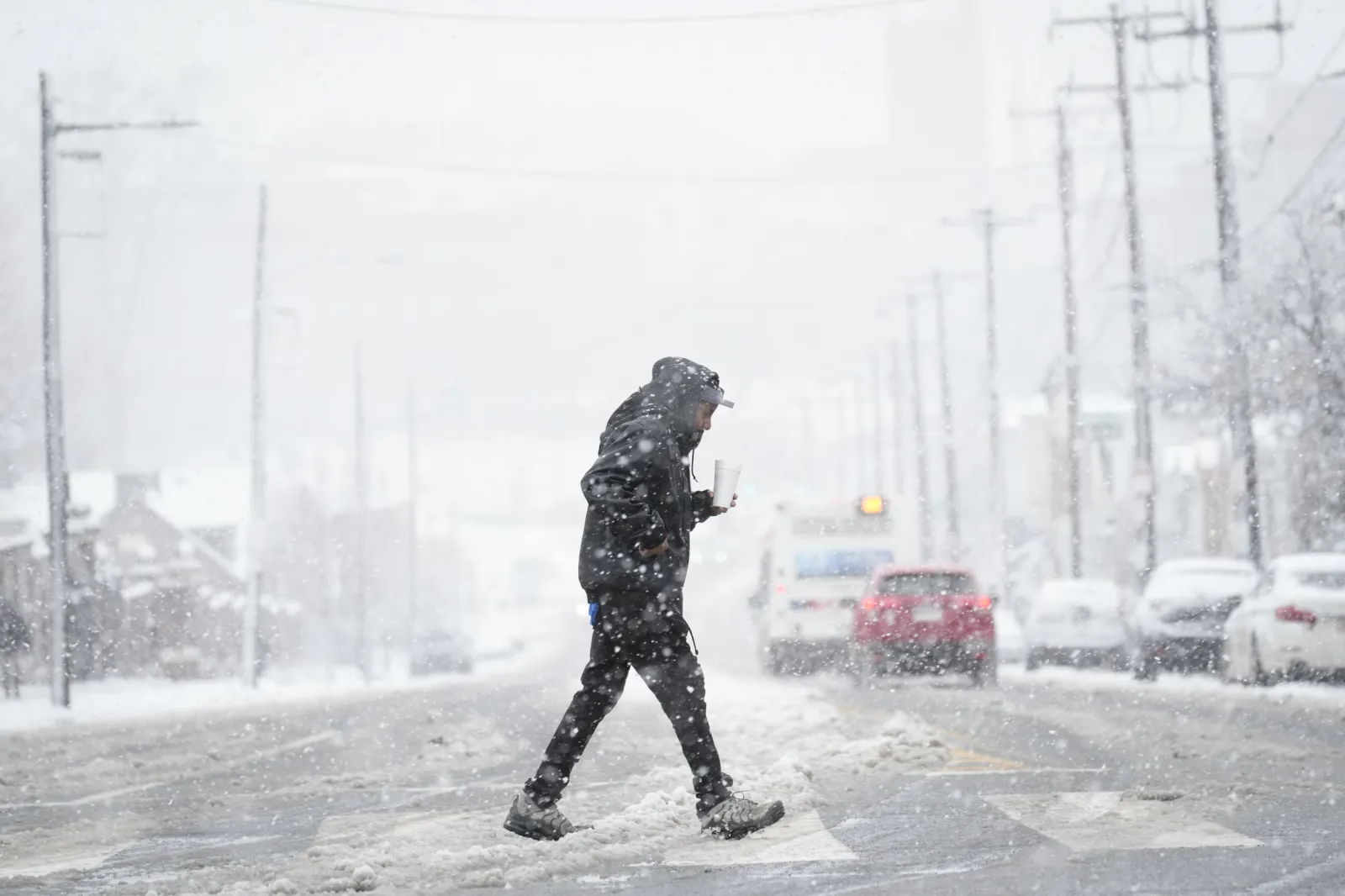
Bitterly cold wind chills are expected to impact Pennsylvania on Tuesday as winter storms caused by a polar vortex continue to batter large swathes of the country.
Why It Matters
Extreme cold poses health risks, particularly for vulnerable groups like young children and the elderly. It can also lead to dangerous travel conditions, power outages and disruptions to daily life, such as school and public building closures.
Read More on News
...
What To Know
The wind chill temperature is how cold people and animals feel when outside in the elements. While the actual temperature of an area can be warmer, wind chill temperatures are based on the rate of heat loss from exposed skin caused by wind and cold. As wind increases, it draws heat from the body, driving down skin temperature and eventually the internal body temperature, making the outside feel colder than it is.
A Newsweek map using forecast data from Pivotal Weather show that wind chills will make it feel considerably below freezing across every county in Pennsylvania on Tuesday.
Counties in northern and northeastern Pennsylvania, including Carbon, Potter, Sullivan, Tioga and Wyoming, will feel the coldest, with chills making the outdoors feel like -5 Fahrenheit, while the actual temperature will be between 12 and 18 degrees throughout the day.
Western Pennsylvania counties will be warmer, although still extremely bitter, with wind chill temperatures forecast between 4 and 12 degrees.
National Weather Service (NWS) winter storm warnings are in place for heavy snow across the southern reaches of the state, along its borders with West Virginia and Maryland, where up to 7 inches could fall in some parts. Wind chills will reflect this, with several counties likely to feel 4 degrees and below.
What People Are Saying
National Weather Service advice on cold weather safety: "Extremely cold air comes every winter into at least part of the country and affects millions of people across the United States. The arctic air can be dangerous. Combined with brisk winds, dangerously cold wind chill values can result.
"People exposed to extreme cold are susceptible to frostbite and can succumb to hypothermia in a matter of minutes. Areas most prone to frostbite are uncovered skin and the extremities, such as hands and feet. Hypothermia occurs when the body loses heat faster than it can produce it."
AccuWeather lead long-range expert Paul Pastelok said: "This could end up being the coldest January since 2011 for the U.S. as a whole."
What Happens Next
Bitter temperatures are expected to last well into next week, with northeastern and New England states forecast to remain at below average temperatures for this time of year through January 12, according to long-range forecasts by the NWS.
View 0 Comments
Submit Correction
View Editorial & AI Guidelines