...

By Amanda Greenwood
Associate News Editor
0
Share
Newsweek is a Trust Project member
See more of our trusted coverage when you search.Prefer Newsweek on Googleto see more of our trusted coverage when you search.
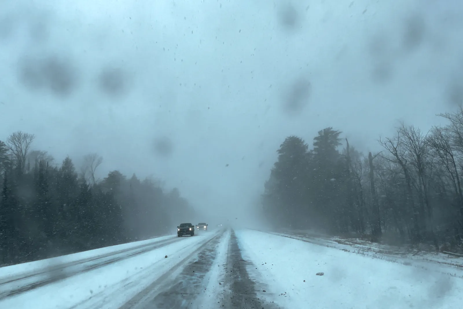
Winter weather advisories, freeze watches, and high wind warnings have been issued by the National Weather Service (NWS), as communities across five states are told to prepare for either snow, strong winds, or freezing temperatures.
...
States Affected by Snow, Wind, and Freezing Temperatures
The NWS’s winter weather alerts say that the following states are likely to experience wintry conditions—including plummeting temperatures and heavy snowfall—from Monday, lasting until Tuesday morning: Alaska, Ohio, Indiana, and Illinois. The NWS adds that subzero temperatures could kill unprotected crops and outdoor plants, and damage outdoor pipes. Blowing snow could reduce visibility and make driving difficult for those affected.
Read More on Weather
Although snow and freezing temperatures aren’t expected in Montana, parts of the state are forecast to get very strong winds—reaching up to 90 mph in some places—through Tuesday. The winds could blow down trees and power lines, making power outages possible, the NWS warns.
Alaska
The Kuskokwim Delta Coast and the Nunivak Island and Western Capes are expected to get up to 6 inches of snow and winds reaching around 40 mph through Monday, until around mid-morning on Tuesday. The NWS warns that blowing snow could reduce visibility down to less than half-a-mile, making travel "very difficult."
Ohio
Athens, Jackson, Morgan, Perry, Vinton, and Washington Counties are likely to see temperatures fall to around 34 degrees Fahrenheit through mid-Monday morning, before dropping again to near-freezing levels overnight and into Tuesday morning.
Subfreezing temperatures hovering between the mid to low 20s degrees Fahrenheit could hit parts of central, south central, southwest, and west-central Ohio from Monday night into Tuesday morning. Communities in these areas could also get temperatures in the mid-30s degrees Fahrenheit until mid-Monday morning.
The NWS has warned Guernsey, Monroe, Muskingum, and Noble Counties to expect "subfreezing temperatures in the upper 20s" from late Monday night until Tuesday morning.
Indiana
Temperatures could plummet to around 29 degrees Fahrenheit across Decatur, Rush, Shelby, Henry, and Randolph Counties until Monday morning, and through Monday night into Tuesday.
Parts of central, east central, north central, and west-central Indiana could see similar temperatures—although slightly colder at 28 degrees Fahrenheit—from late Monday night until Tuesday morning. Areas across east central and southeast Indiana could also see bitterly cold temperatures, entering into the low 20s, from Monday night into Tuesday.
Illinois
Temperatures could drop as low as 28 degrees Fahrenheit in parts of central, east central, and west central Illinois from Monday night into Tuesday morning.
Montana
Parts of central and north-central Montana are likely to experience southwest to westerly winds reaching up to 75 mph—with the strongest winds likely along and west of Interstate 15 and north of the Montana Highway 200—throughout Tuesday.
The Madison River Valley in southwestern Montana could see up to 60 mph wind gusts, also through Tuesday—the NWS is urging residents to "secure loose objects that could be blown around or damaged by the wind."
Winds gusting around 65 mph are likely in places below 6,000 feet across the Western parts of Madison and the northwestern parts of Beaverhead County from Tuesday morning until Tuesday evening.
The front, foothills, and plains of the Rocky Mountains, and the eastern Glacier, Western Toole, and central Pondera Counties are expected to get winds around 40 to 50 mph through Tuesday, with gusts reaching up to 90 mph at times. The NWS has warned that these strong winds could cause blowing dust, which is likely to reduce visibility, making driving difficult, particularly along Interstate 15 between Shelby and the Canadian border.
View 0 Comments
Submit Correction
View Editorial & AI Guidelines