
...

By Amanda Greenwood
Associate News Editor
0
Share
Newsweek is a Trust Project member
See more of our trusted coverage when you search.Prefer Newsweek on Googleto see more of our trusted coverage when you search.
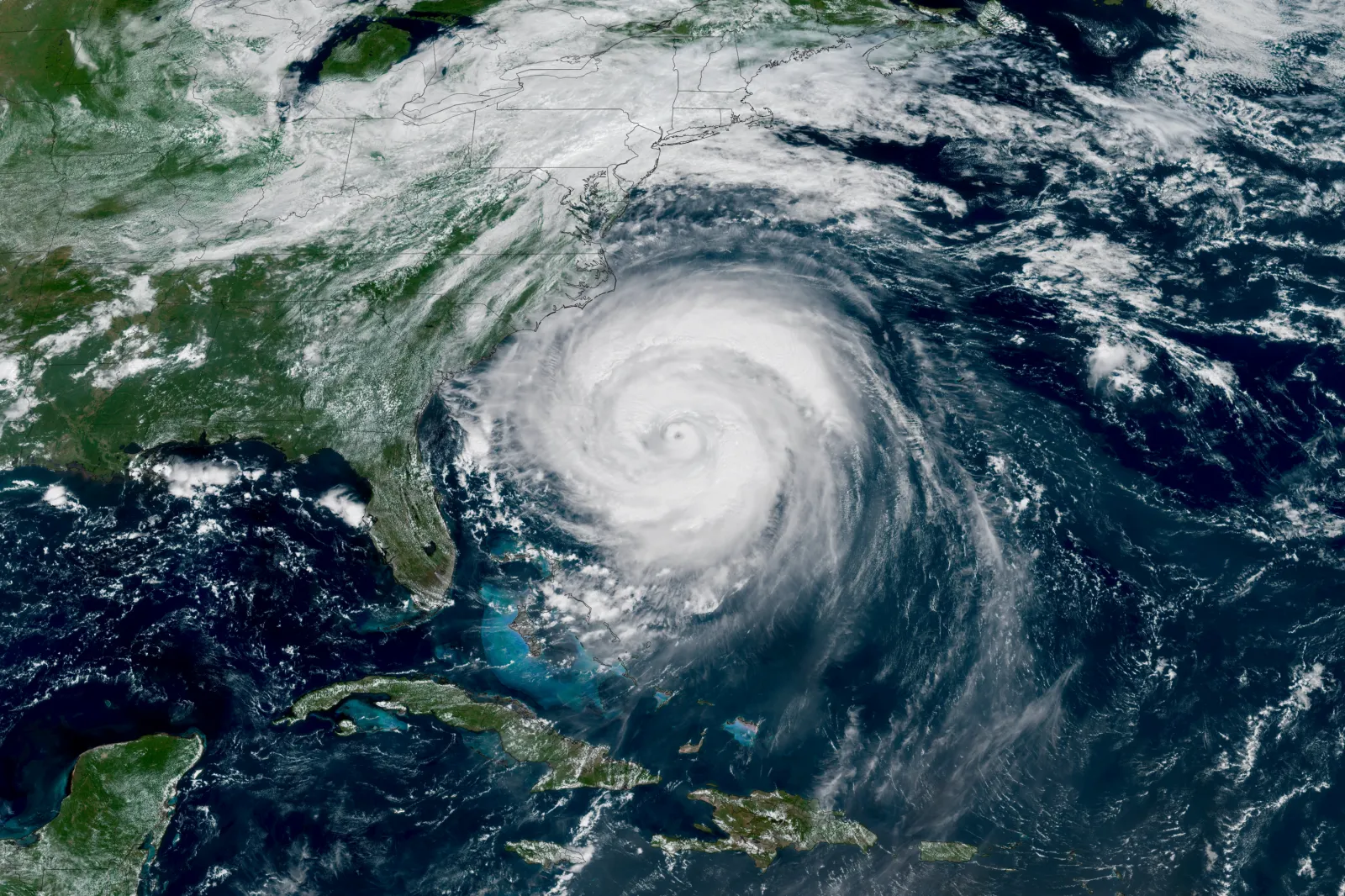
As the Atlantic hurricane season officially begins on June 1, forecasters are signaling a quieter-than-normal year—but with a critical warning: Fewer storms don’t necessarily mean lower risk.
Meteorologists across government agencies and private forecasting firms are broadly aligned in their outlook for 2026, pointing to a season heavily shaped by a developing El Niño pattern. Still, experts stress that even a “below-average” year can produce devastating impacts.
...
Read More on News
The Core Forecast
The National Oceanic and Atmospheric Administration (NOAA) is setting the baseline for expectations, forecasting:
- 8–14 named storms, with winds reaching 35 miles per hour or higher
- 3–6 hurricanes, with winds up to 74 mph or more
- 1–3 major hurricanes, ranging from category 3 to 5, with winds higher than 111 mph
- A 55 percent chance of a below-normal season, alongside 35 percent near-normal and 10 percent above-normal odds
This outlook sits below the historical, long-term average of 14 named storms, seven hurricanes, and three major hurricanes.
The takeaway, as forecasters repeatedly emphasize, is clear: This is a muted activity outlook—not a low-risk one. NOAA officials warned that “it only takes one storm to make for a very bad season,” urging residents in vulnerable regions to begin preparing.
Why Hurricane Forecasts Are Lower This Year
The dominant factor shaping the 2026 outlook is a developing El Niño in the Pacific Ocean.
El Niño occurs when ocean surface temperatures warm across the equatorial Pacific, altering atmospheric patterns on a global scale. In the Atlantic basin, this phenomenon typically generates stronger upper-level winds—known as vertical wind shear—which disrupt tropical cyclone formation.
In simple terms, hurricanes rely on a vertically aligned structure to mature and strengthen. Strong wind shear tilts and disorganizes developing systems, weakening or even tearing them apart before they can intensify.
But the meteorological picture isn’t entirely straightforward. NOAA forecasters also point to competing atmospheric influences:
- Elevated Atlantic sea-surface temperatures, which provide critical thermal fuel for storms.
- Weaker trade winds—winds that blow in a steady, predictable direction—alongside specific atmospheric conditions that may allow storms to develop more easily.
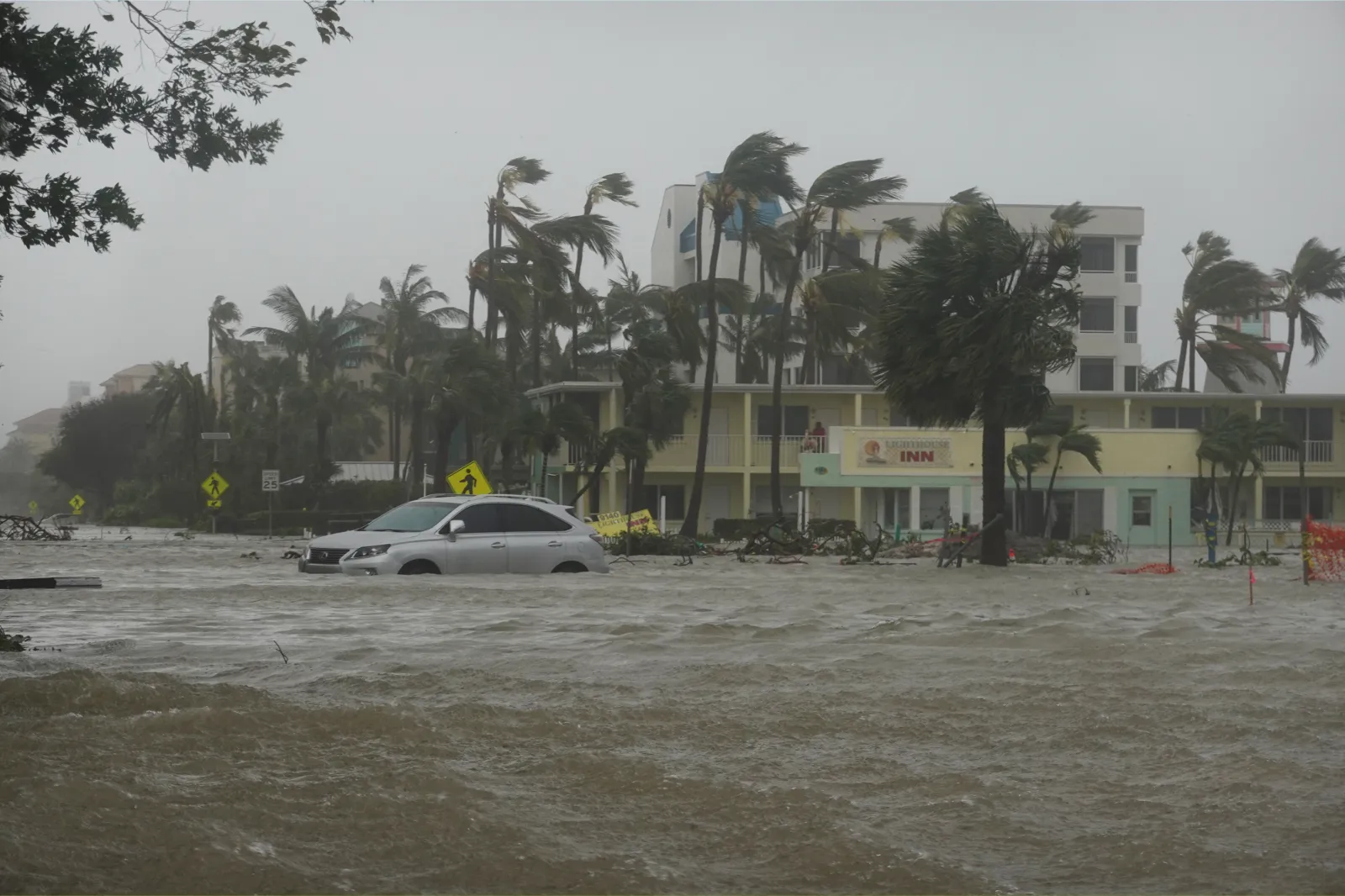
The result is a set of conflicting signals: Fewer storms overall, but continued potential for powerful systems.
...
What Other Forecasters Say
While NOAA leads with the official outlook, independent organizations broadly support a similar narrative.
Colorado State University (CSU) projects approximately 13 named storms, six hurricanes, and two major hurricanes, similarly indicating below-average activity. CSU researchers note that a projected transition toward El Niño serves as the primary limiting factor for the basin.
AccuWeather, meanwhile, offers a slightly wider range—11 to 16 named storms and four to seven hurricanes—while highlighting the potential for three to five direct U.S. impacts.
Despite differences in numbers, the consensus is consistent: Near-to-below-average hurricane activity overall.

...
The Big Caveat to “Below-Average”
Across agencies, one message stands out: A quieter season does not eliminate danger.
NOAA officials stress that destructive storms—including major hurricanes—have frequently struck landmasses during historically calm years.
Several risks remain particularly important:
- Rapid intensification: Exceptionally warm pockets of ocean water can allow storms to strengthen rapidly, sometimes escalating in intensity dramatically in less than 24 hours.
- Early-season uncertainty: El Niño typically strengthens later in the summer, meaning June through early August could still exhibit notable tropical activity before the suppressive atmospheric effects peak.
- Geographic vulnerability: Forecasters from AccuWeather believe that the Gulf Coast and the Carolinas are the regions most exposed to potential landfalls this year.
- Timing and Season Structure: The Atlantic hurricane season runs from June 1 through November 30, with peak activity typically occurring between mid-August and mid-October. If El Niño intensifies as expected, experts say the late season could become quieter, though uncertainty remains highest in the early months.
Key Themes Emerging From Experts
Several consistent themes are shaping professional coverage of the 2026 outlook:
- Forecasts are probabilistic: NOAA emphasizes that seasonal outlooks represent probability ranges, not precise, guaranteed outcomes.
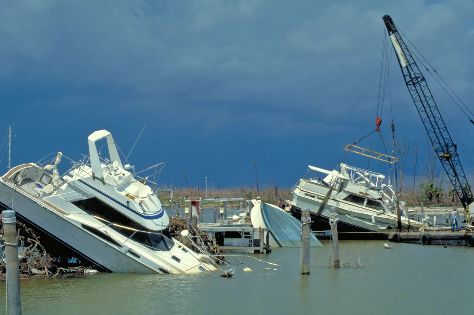
- Quiet years can still be catastrophic: Historic and devastating storms, such as Hurricane Andrew in 1992, have occurred during otherwise subdued seasons.
- Pacific activity may increase: While El Niño suppresses Atlantic storm development, it conversely boosts tropical activity in the eastern Pacific basin.
...
View 0 Comments
Submit Correction
View Editorial & AI Guidelines