...

By Anna Skinner
Associate News Editor
0
Share
Newsweek is a Trust Project member
See more of our trusted coverage when you search.Prefer Newsweek on Googleto see more of our trusted coverage when you search.
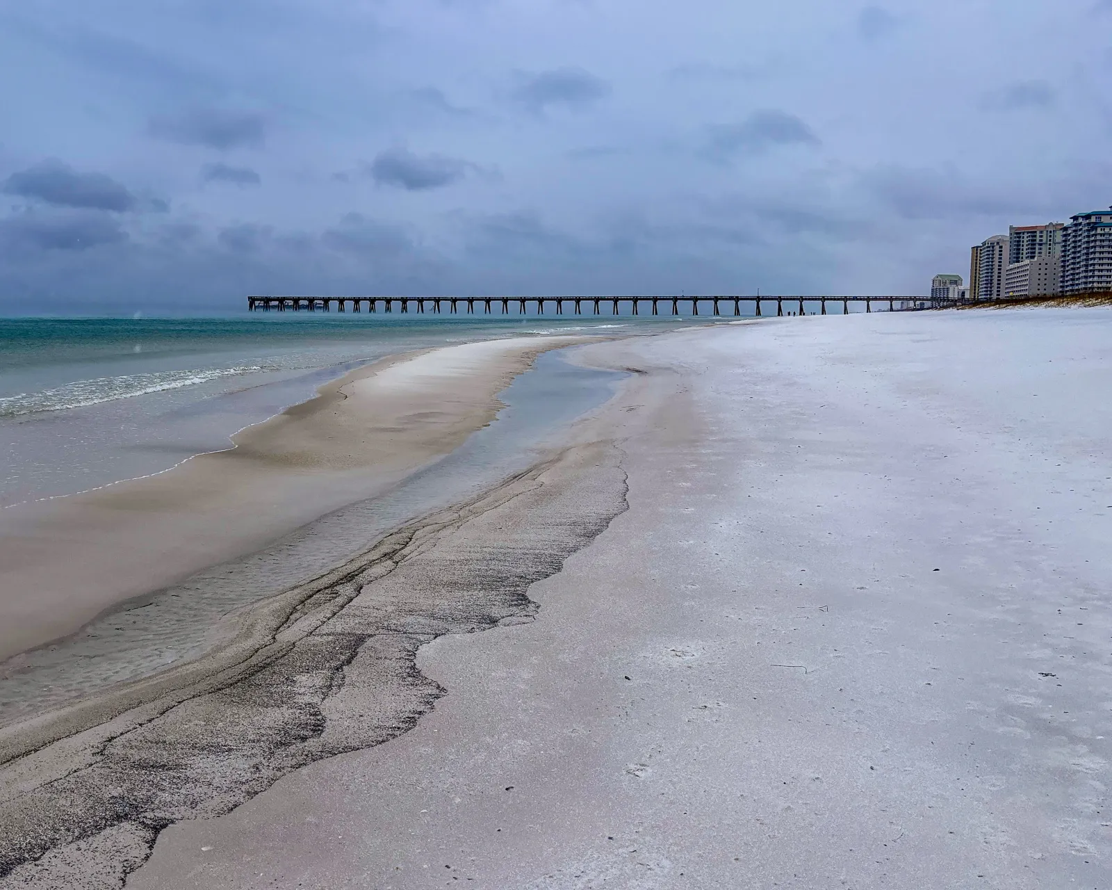
An incoming winter storm set to hit the U.S. this weekend could bring flurries to a tropical area that hasn't seen snow in nearly 50 years.
The forecast comes as the National Weather Service (NWS) issues forecasts with increasing certainty about the impacts of an incoming winter storm, set to hit the U.S. only days after Winter Storm Fern ravaged the nation last weekend. Whereas most of the higher snowfall totals are expected along the Eastern Seaboard, cities as far south as Tampa, Florida, and even areas outside of the U.S. could also see snow flurries.
One such area that could see snow that doesn't usually is the Atlantic Ocean near the Bahamas.
Read More on Weather
...
The Washington Post meteorologist Ben Noll shared the forecast on X on Thursday morning. "Ocean-effect flurries" could occur in west Florida this weekend, Noll said. Such flurries are similar to lake-effect snow, which occurs when cold air moves across warm bodies of water, usually lakes, prompting air to rise and form clouds that produce snow. In the Great Lakes region, this phenomenon can cause snow to fall at a rate of several inches per hour. That much snow isn't expected in Florida or near the Bahamas, but the possibility of snow still drew the attention of meteorologists.
"This is pretty incredible," Noll wrote in the post, before explaining the science behind the phenomenon.
"On the backside of this weekend's potent storm, air from the Arctic will swirl across the Gulf on Saturday night, stretching down the Floridian Peninsula and causing wind chills to reach the 20s, teens and single digits in the state," Noll said. "As that freezing air glides over much warmer ocean waters, enough atmospheric instability may be sparked to cause Gulf-effect snow in a stretch from Apalachicola to Tampa — in a similar way that lake-effect snow forms near the Great Lakes. If a few flakes fly across this zone, it would be rare, but not unprecedented. Early Sunday, the air may be cold enough for snow to fall over the ocean about 100 miles north of the Bahamas. Believe it or not, it has snowed there before: Flurries were reported in Freeport in January 1977."
AccuWeather Long Range Forecaster Paul Pastelok told Newsweek that the event will bring flurries to places that haven't seen snow since a cold outbreak in January 1977. During this cold outbreak, the ocean north of the Bahamas saw flurries. In the U.S., Miami, Florida, was among the cities that received snow.
"It can happen, but it's very hard to predict," Pastelok said, adding that there's a chance this weekend for areas like Tampa and Jacksonville to see snow.
If it snows in Tampa, it would be the first snow in 16 years.
"Holy cow This has to be a first!! I was checking on the impacts of the SE Coast Blizzard, and noticed that #Tampa Bay has been highlighted in NOAA’s Winter Storm Severity Index for a “small” chance of #snow impacts. So, yes, I’m saying there’s a chance," WFLA-TV chief meteorologist Jeff Berardelli posted on X on Wednesday.
In addition to the flurries, cold air could damage fruits and vegetables throughout the Sunshine State, Pastelok said.
Bomb Cyclone to Slam US With Heavy Snow, Strong Winds
AccuWeather meteorologists are forecasting that the storm will rapidly intensify into a bomb cyclone on Saturday.
A bomb cyclone is when a storm's atmospheric pressure drops 24 millibars or more in 24 hours or less. The rapidly intensifying storm can cause significant impacts. Bomb cyclones typically occur off the East Coast, and the storms can be accompanied by strong winds and snowfall.
The conditions could combine to create blizzards across parts of the Eastern Seaboard this weekend, the AccuWeather report warned, namely in coastal North Carolina and Virginia.
Winter Storm Watches Issued for Millions
Early Thursday morning, several NWS offices issued winter storm watches along the Eastern Seaboard. The watches will likely be upgraded to winter storm warnings as the storm arrives, with impacts expected to begin as soon as Friday.
Nearly the entire state of North Carolina was under a winter storm watch, as was Virginia, eastern Tennessee, South Carolina, and Georgia. As much as a foot of snow was possible in some areas, but the forecasts varied depending on location.
View 0 Comments
Submit Correction
View Editorial & AI Guidelines