...

By Anna Skinner
Associate News Editor
0
Share
Newsweek is a Trust Project member
See more of our trusted coverage when you search.Prefer Newsweek on Googleto see more of our trusted coverage when you search.
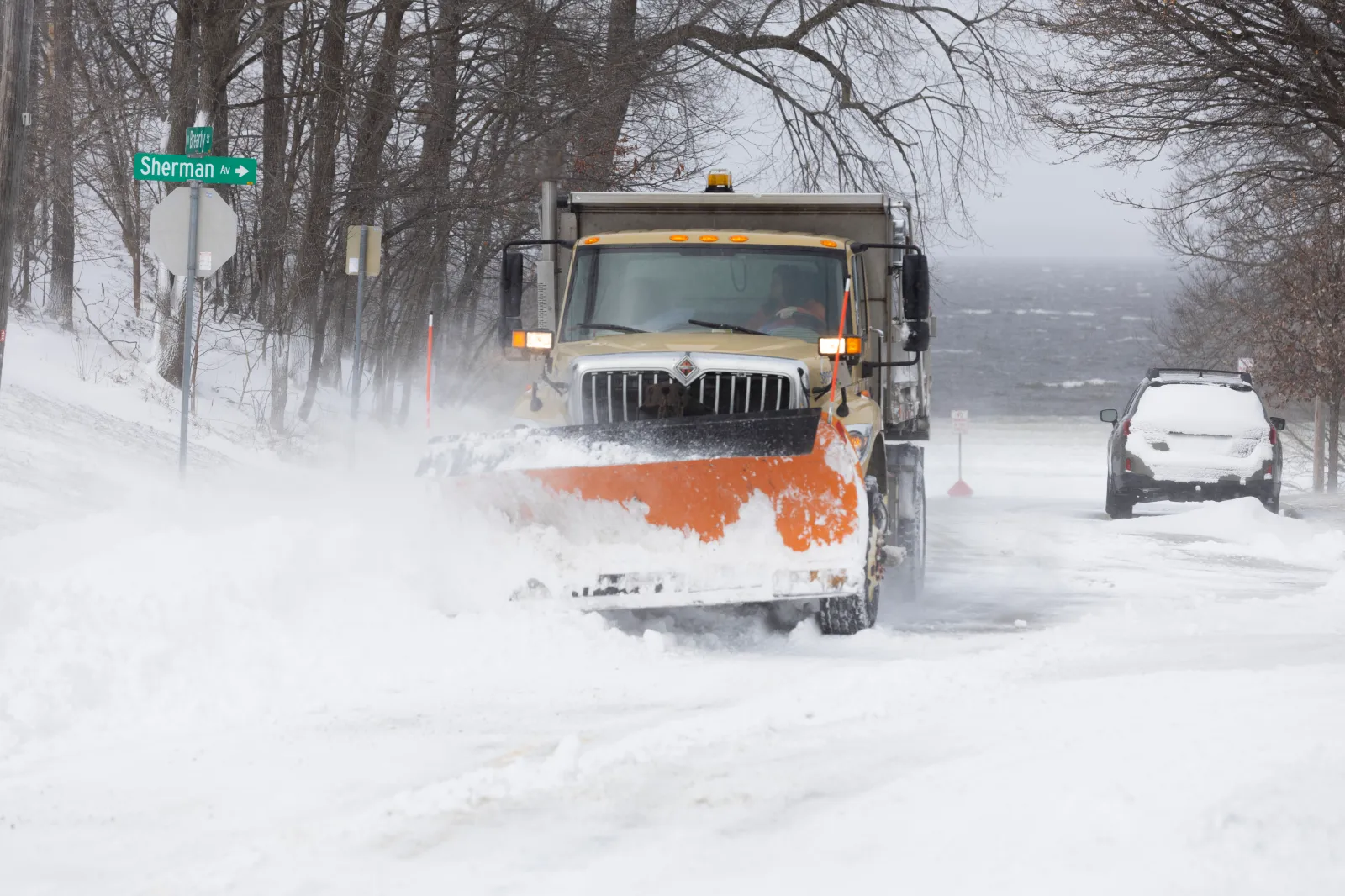
Several winter storm systems are taking shape across the U.S. this week, with nearly half the country expecting winter weather impacts from the storms through April 6.
The new forecast from the National Weather Service (NWS) Weather Prediction Center comes after much of the U.S. recently went through a warm spell that broke thousands of March heat records across the country. However, now many states are expecting the opposite end of the spectrum: snow and potential ice as a cold weather system moves in.
“Do not let the calendar fool you. It may be springtime, but high-impact snow and ice storms can still cause major disruptions in April," AccuWeather director of forecasting operations Carl Erickson told Newsweek. "Snow and ice could cause big travel problems at airports and on highways in the path of this winter storm.”
Read More on Weather
...
The NWS Weather Prediction Center shared the forecast in a post on X on Tuesday morning.
"A few different storm systems moving across the country will bring wintry weather to the northern tier," the post said. "Expect rounds of snow in the higher elevations of the West, with the potential for a wintry mix and ice accumulation across the northern Plains, Midwest, and New England."
A map included with the post showed states across the Northern Plains, Northeast, Upper Midwest, Pacific Northwest and Intermountain West expecting at least a 60 percent chance of minor winter storm impacts through April 6.
In a follow-up post, the NWS Weather Prediction Center went into greater detail about the storm set to hit the Upper Midwest.
"A late season winter storm will produce a combination of heavy snow and disruptive ice starting Wednesday in the Northern Plains," the message said. "Snow and ice moves into the Upper Midwest and Great Lakes by Wednesday night and continues into Thursday."
Snow will pose the greatest threat across North Dakota, South Dakota, and Minnesota. Up to 6 inches of snow is possible, with some locally higher amounts.
Elsewhere, namely southern Minnesota, Wisconsin, and Michigan, freezing rain will be the biggest concern.
"Between one-tenth and one-quarter inch of ice is forecast in these areas with localized amounts approaching one-half inch possible," the message said. "Treacherous travel conditions are likely in impacted areas."
The NWS has issued winter storm watches across the region. The alerts will go into effect on Wednesday afternoon.
"People should consider delaying all travel. If travel is absolutely necessary, drive with extreme caution," NWS Green Bay, Wisconsin, said in a winter storm watch. "Consider taking a winter storm kit along with you, including such items as tire chains, booster cables, flashlight, shovel, blankets and extra clothing. Also take water, a first aid kit, and anything else that would help you survive in case you become stranded."
In a polarized era, the center is dismissed as bland. At Newsweek, ours is different: The Courageous Center—it's not "both sides," it's sharp, challenging and alive with ideas. We follow facts, not factions. If that sounds like the kind of journalism you want to see thrive, we need you.
When you become a Newsweek Member, you support a mission to keep the center strong and vibrant. Members enjoy: Ad-free browsing, exclusive content and editor conversations. Help keep the center courageous. Join today.


View 0 Comments
Submit Correction
View Editorial & AI Guidelines