...

By Anna Skinner
Associate News Editor
0
Share
Newsweek is a Trust Project member
See more of our trusted coverage when you search.Prefer Newsweek on Googleto see more of our trusted coverage when you search.
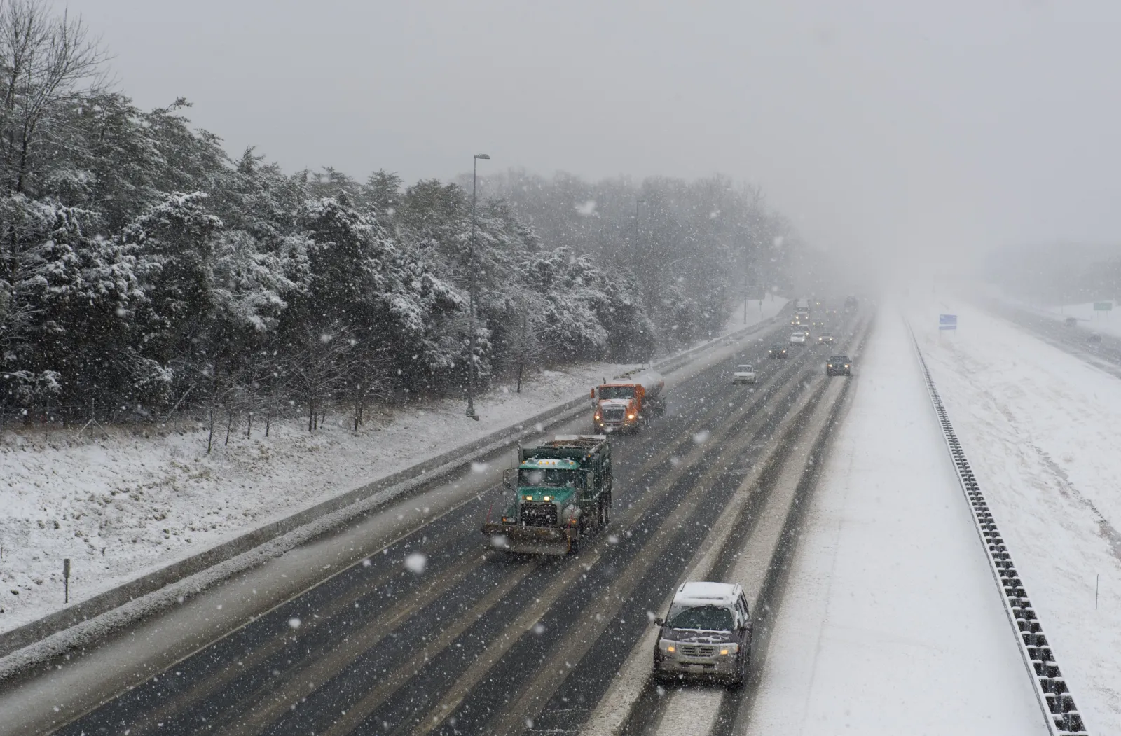
National Weather Service (NWS) meteorologists issued a series of winter storm watches across parts of the Mid-Atlantic region of the United States on Wednesday ahead of another winter storm set to dump heavy snow.
The forecast comes after a bomb cyclone produced heavy snowfall across the Eastern Seaboard last weekend, with some areas of North Carolina recording more than a foot. Snow continued throughout the week, with New York, North Carolina, and Virginia expecting snow from Wednesday to Thursday.
Now, a new series of winter storm watches has been issued. Although the incoming storm system isn't expected to be as potent as the one that hit over the weekend, several NWS offices are warning of more heavy snow.
Read More on U.S.
On Wednesday, winter storm watches were issued across West Virginia, western Maryland, and Pennsylvania. A winter weather advisory, in which ice and sleet were expected more so than snow, was issued for most of North Carolina.
A winter storm watch is issued by the NWS when "there is the potential for significant and hazardous winter weather within 48 hours." The watch is upgraded to a winter storm warning when "a significant combination of hazardous winter weather is occurring or imminent."
North Carolina Snowfall
Snowfall will likely not be measurable in North Carolina, NWS meteorologist Aaron Swiggett told Newsweek, as most precipitation is expected to fall as either rain, sleet, or freezing rain. However, a winter weather advisory is in place, as ice on roads and sidewalks will make for a dangerous environment for anyone outdoors.
West Virginia snowfall
In West Virginia, the Charleston NWS office warned of heavy snow, with "snow accumulations of 4 to 7 inches possible." Accompanying the snow will be gusty winds up to 50 mph, which could cause hazardous driving conditions as visibility will likely be affected.
The winter storm watch is in effect for portions of northeast, northern, and southeast West Virginia, beginning Friday morning. It will remain in place through Saturday morning.
"Plan on slippery road conditions. The hazardous conditions could impact the Friday evening commute," the winter storm watch said. "Gusty winds could bring down tree branches, and lead to significant reductions in visibility."
...
Maryland Snowfall
The NWS Baltimore office has also issued a winter storm watch for western Maryland during the same time period.
"A strong Arctic front will deliver heavy upslope snow showers and squalls, strong winds, and dangerously cold wind chills to the Alleghenies late Friday into the Saturday," the winter storm watch said.
Forecasters expect 6 inches of snow, with higher amounts possible in Garrett County.
"Whiteout conditions are possible and may make travel treacherous and potentially life-threatening on I-68/US-40 west of Frostburg, MD, US-219 from the PA/MD Line south to WV Line, US-48 west of Moorefield, WV, and US-33/WV-28 west of Franklin, WV," the winter storm watch said. "The strong winds may down power lines and could cause sporadic power outages."
Pennsylvania Snowfall
For Pennsylvania, the NWS offices in Pittsburgh and State College warned of heavy snow up to 6 inches between Friday morning and Saturday morning.
"Travel could become very difficult," the winter storm watch said. "The hazardous conditions may impact the Friday evening commute. Visibilities may drop below 1/4 mile due to falling and blowing snow."
People living in affected areas are urged to follow guidance from their local NWS office. The winter storm watches could be upgraded to winter storm warnings as the event gets closer.
View 0 Comments
Submit Correction
View Editorial & AI Guidelines