...

By Amanda Greenwood
Associate News Editor
0
Share
Newsweek is a Trust Project member
See more of our trusted coverage when you search.Prefer Newsweek on Googleto see more of our trusted coverage when you search.
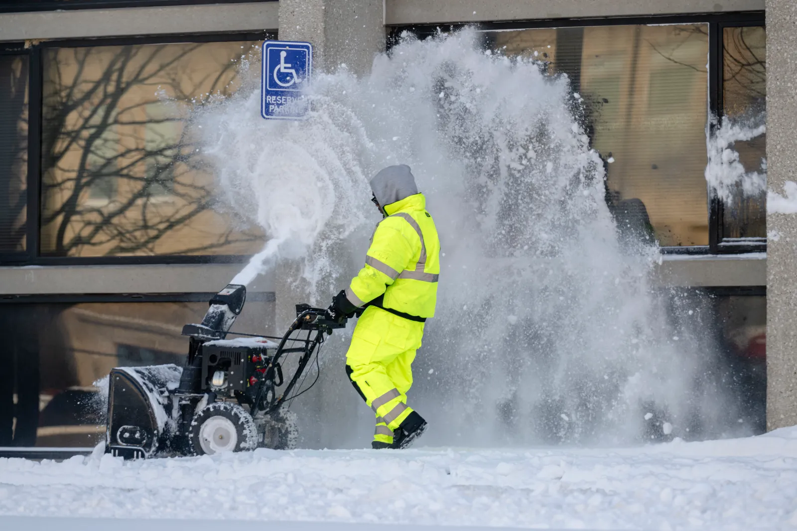
Winter weather warnings have been issued as up to 7 inches of snow are expected to hit eight states from Tuesday, as the National Weather Service (NWS) warns of “hazardous conditions.”
- Essential Reading: The US Is in Beta as China Changes the Game
- How Trump’s Nuclear Brinkmanship Is Forcing Iran’s Hand
- Conventional Wisdom: Trump Kennedy Center Edition
States Affected by Winter Weather Warnings
The NWS has warned that winter weather conditions—which are likely to bring snow, ice, wind, and plummeting temperatures—could strike the following states: Kentucky, Ohio, West Virginia, Indiana, Maryland, Michigan, Alaska, and Florida.
Read More on News
Kentucky
Up to 4 inches of snow could fall across northern and northeastern parts of Kentucky, and up to 2 inches could hit east central and north central parts through Tuesday.
...
Ohio
Parts of central, south central, southwest, and southeast Ohio could get between 1 and 4 inches of snow (higher amounts are possible, locally) by Tuesday evening—the NWS warns that this could affect people's commutes.
West Virginia
Between 1 and 4 inches of snow could fall in the western parts of West Virginia, with travelers advised to prepare for “slippery road conditions” through Tuesday.
Up to 4 inches of snow are also expected to fall across central, northeastern, and northern parts of the county—higher amounts are forecast across higher terrains, especially in Preston and Tucker Counties—by Wednesday morning.
Western Grant and western Pendleton Counties could see between 2 and 3 inches of snow by Tuesday night, with steadier, more consistent snowfall expected throughout Tuesday afternoon, into the evening.
Indiana
Parts of southeast Indiana could see between 1 and 3 inches of snow through Tuesday, and Bartholomew, Decatur, Jackson, and Jennings Counties could get up to 2 inches of snow by Tuesday evening. The NWS warns that “hazardous conditions could impact the Tuesday morning and evening commutes.”
Maryland
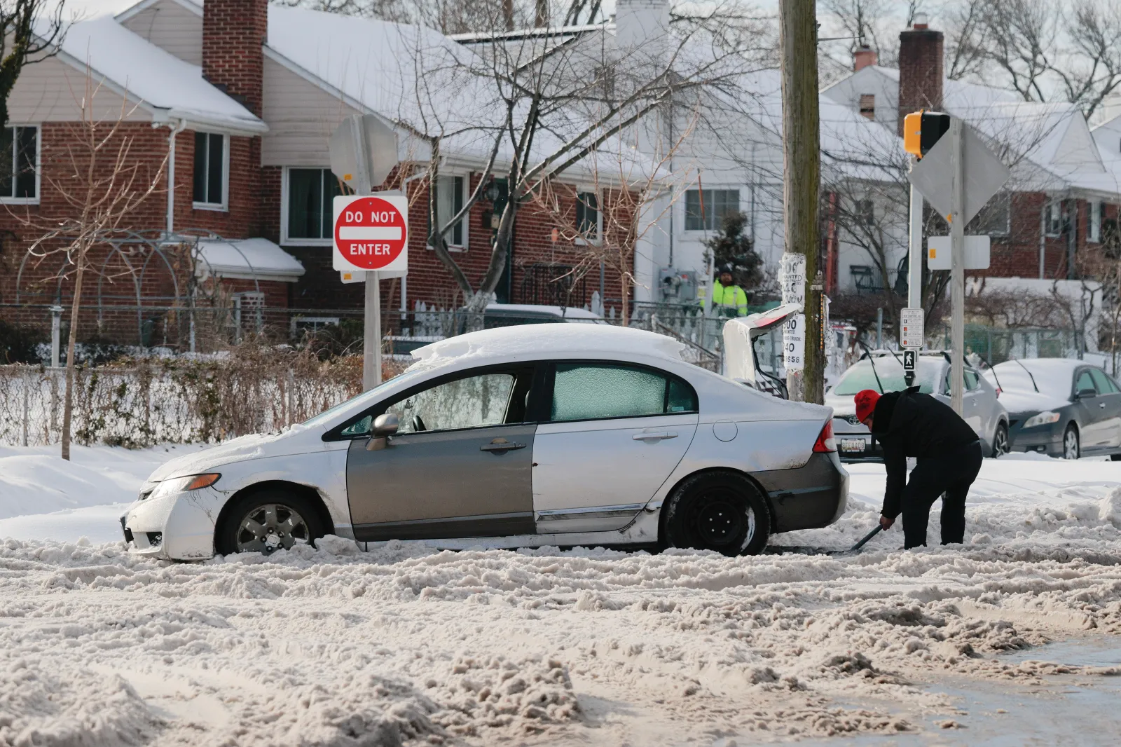
Western Garrett County should expect to get up to 3 inches of snow from noon until midnight on Tuesday.
...
Michigan
Alger County is expected to get up to 7 inches of lake-effect snow—which will make travel “very difficult” in the heavier snow areas—by Tuesday night, which will impact Tuesday morning and evening commutes.
Alaska
The summits along the Dalton, Elliott, and Steese Highways could get up to 3 inches of snow and 55 mph winds—the highest winds are likely across the Dalton Highway—from Tuesday morning until Thursday. The NWS has said, “areas of blowing snow could significantly reduce visibility.”
Inland Bristol Bay and the northern Bristol Bay coast could see up to 2 inches of snow, winds gusting around 35 mph, and ice accumulations (with the most ice likely to be from New Stuyahok to Koliganek) until Tuesday night.
The central and eastern Beaufort Sea coast and the northern and northwest Arctic coast could get up to 1 inch of snow and winds reaching 50 mph through Tuesday, ending Wednesday afternoon. This is likely to make travel difficult, as blowing snow may reduce visibility to less than half a mile at times.
Kivalina and Red Dog Dock could get blasted with 50 mph winds, which will cause blowing snow, “significantly” reducing visibility, until Tuesday morning.
Florida
Inland Broward, inland Palm Beach, the Glades, Hendry, and Inland Collier counties have been issued freeze warnings as below-freezing temperatures of around 30F and wind chills as low as 25F are likely to last until Tuesday morning.
The NWS has advised those affected to “take steps now to protect tender plants from the cold. Bring pets and potted plants indoors.”
Parts of northeast and northern Florida could experience temperatures around 26F inland and around 30F toward the coast until Tuesday morning.
Inland Charlotte, inland Lee, DeSoto, Hardee, Highlands, inland Hillsborough, inland Manatee, inland Pasco, inland Sarasota, Polk, Hernando, Levy, Citrus, and Sumter Counties could get wind chills as low as 28F, and temperatures around 29F are expected until Tuesday morning.
In a polarized era, the center is dismissed as bland. At Newsweek, ours is different: The Courageous Center—it's not "both sides," it's sharp, challenging and alive with ideas. We follow facts, not factions. If that sounds like the kind of journalism you want to see thrive, we need you.
When you become a Newsweek Member, you support a mission to keep the center strong and vibrant. Members enjoy: Ad-free browsing, exclusive content and editor conversations. Help keep the center courageous. Join today.


View 0 Comments
Submit Correction
View Editorial & AI Guidelines