...

By Joe Edwards
Reporter
0
Share
Newsweek is a Trust Project member
See more of our trusted coverage when you search.Prefer Newsweek on Googleto see more of our trusted coverage when you search.
Forecasters have released a new update on El Niño, a climate pattern that could emerge later this year and shape weather conditions across the U.S. and beyond.
Why It Matters
El Niño is a naturally occurring climate pattern in the Pacific Ocean and represents the warm phase of the El Niño—Southern Oscillation (ENSO). It forms when trade winds that typically blow westward along the equator weaken, allowing warm surface waters to shift east toward the western coast of the Americas, according to NOAA.
Read More on Weather
"El Niño can affect our weather significantly," the agency said. During El Niño, the Pacific jet stream moves south of its typical position, which is linked to drier and warmer conditions in the Northern U.S. and Canada, and wetter conditions across the Southern U.S, it adds. It can also influence hurricane season activity.
What To Know
In a Thursday update, the National Weather Service Climate Prediction Center (CPC) said that ENSO-neutral conditions emerged in March and are expected through April-June.
It said that El Niño has a 61 percent chance of emerging in May-July, persisting through at least the end of the year.
"El Niño is likely because of increasing subsurface temperature anomalies and recent westerly wind anomalies over the western Pacific Ocean. However, the possible outcomes range from ENSO-neutral to a very strong El Niño during the upcoming Northern Hemisphere winter," it said.
ENSO-neutral is when neither El Niño nor its counterpart La Niña's conditions are active.
The CPC also said there was a one in four chance of a "very strong El Niño." According to NBC, stronger ENSO events equate to more extreme weather impacts, for example more intense droughts for some while more intense flooding for others.
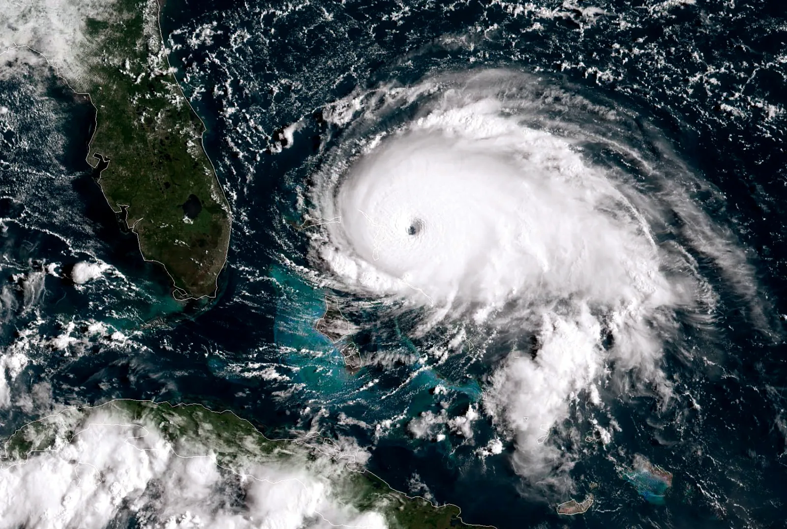
El Niño can also influence hurricane season, with El Niño years often seeing reduced activity in the Atlantic but heightened activity in the Pacific, according to experts.
"The stronger intensity of El Niño…increases the chances that this factor is a more dominant factor for any seasonal forecast, which helps to predict extremes and periods of extremes a lot of easier without the interference of other factors," AccuWeather meteorologist Paul Pastelok told Newsweek on Friday.
"But other factors like marine heat waves…sea ice reduction or increase, and climate change can alter typical patterns created by El Niño or La Niña, weak or strong."
...
What People Are Saying
Matthew Rosencrans, NOAA’s lead for it’s seasonal hurricane outlook told Newsweek earlier this week: "El Niño conditions are associated with fewer tropical storms and hurricanes, especially in the western Atlantic Ocean Basin.
“El Niño conditions are associated with more tropical storm and hurricane activity during the eastern and central Pacific hurricane seasons.”
What Happens Next
The CPC said more updates will be released on May 14.
View 0 Comments
Submit Correction
View Editorial & AI Guidelines