...

By Anna Skinner
Associate News Editor
0
Share
Newsweek is a Trust Project member
See more of our trusted coverage when you search.Prefer Newsweek on Googleto see more of our trusted coverage when you search.
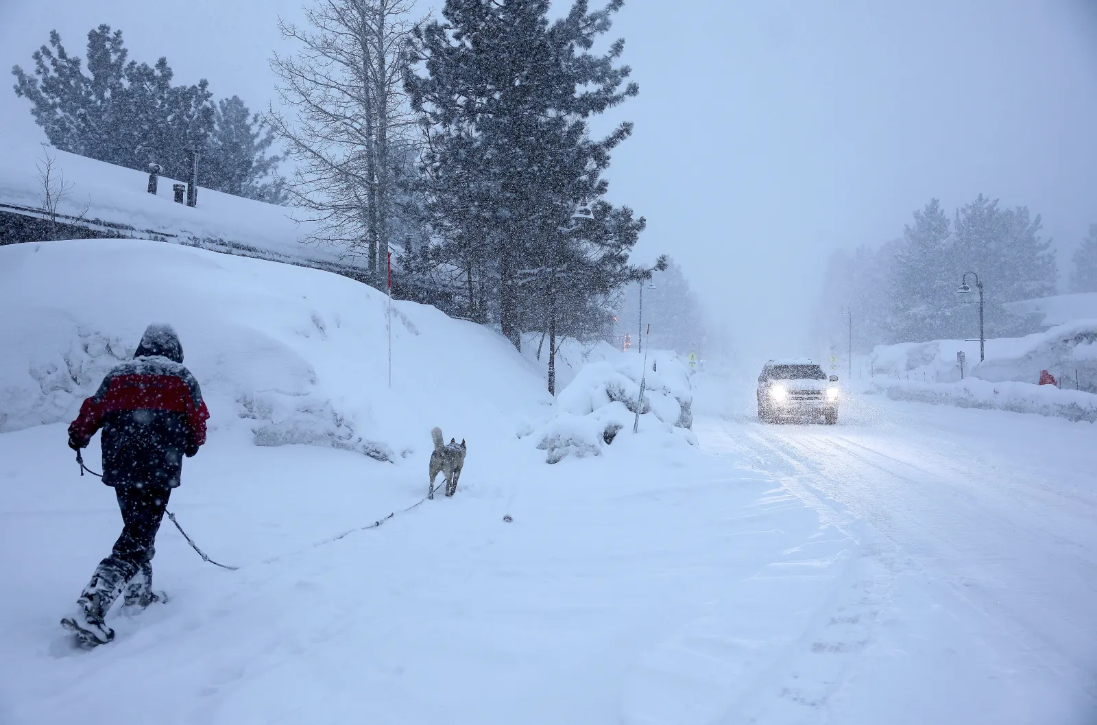
A late-season winter blast is set to bring as much as 10 inches of snow across parts of Oregon later this week, prompting National Weather Service (NWS) meteorologists to issue a series of winter weather advisories area warning of heavy snowfall across the area.
Winter weather remains one of the most disruptive and dangerous seasonal hazards in the U.S., routinely straining transportation networks, knocking out power, and creating life‑threatening conditions for anyone caught on the roads. Even moderate snowfall can quickly turn treacherous when paired with falling temperatures, icy surfaces, or reduced visibility. Mountain passes and rural corridors are especially vulnerable, but sudden whiteouts and fast‑accumulating snow can endanger travelers anywhere conditions shift rapidly.
The new series of winter weather advisories comes as lingering winter weather effects remain across the Midwest, Mid-Atlantic, and Northeast on Monday. Many of those winter weather advisories are set to expire Tuesday morning, whereas the alerts in the Pacific Northwest go into effect early Wednesday morning. They will remain in place throughout the day, set to expire at 10 p.m. local time.
Read More on Weather
...
NWS offices in Portland, Medford, and Pendleton, Oregon, issued the advisories on Monday afternoon. Impacted areas include Waldo Lake, Santiam Junction, Santiam Pass, McKenzie Pass, Tombstone Summit, Willamette Pass, Breitenbush Springs, Sisters, Camp Sherman, La Pine, and Sunriver, as well as Crater Lake and Diamond Lake.
Between 4 and 10 inches of snow could fall across the impacted areas, with exact amounts dependent on the location.
With snowfall rates reaching up to 1 inch per hour for several hours, NWS meteorologist Daniel Hartsock told Newsweek the biggest impacts will be to anyone driving on roads through the Cascades at that time.
All of the advisories warned of dangerous travel conditions and advised people to avoid travel during the worst of the storm.
"Roads, and especially bridges and overpasses, will likely become slick and hazardous," NWS Portland said in the advisory. "Periods of moderate to heavy snowfall may combine with low visibilities to create difficult driving conditions."
Should people must drive during the storm, they should carry a winter emergency kit with them. The kit should include a flashlight, batteries, blankets, a shovel, water, non-perishable food items, tire chains, and other necessary supplies.
"Plan on slippery road conditions and delays in your commute," NWS Medford said in the advisory. "The hazardous conditions could impact the Wednesday morning and evening commutes. Snowfall rates could reach one half to one inch per hour at times."
At a snowfall rate of 1 inch per hour, visibility can quickly drop, and roads often become snow‑covered faster than plows can keep up, especially during the peak of a storm. Even when crews are active, accumulation at this rate can outpace clearing, leading to slick, compacted snow and potentially icy conditions.
The quick burst of snowy weather comes as much of the rest of the nation is expecting above-average temperatures this week, with some regions anticipating temperatures as much as 25 degrees above average for this time of year.
View 0 Comments
Submit Correction
View Editorial & AI Guidelines