...

By Anna Skinner
Associate News Editor
0
Share
Newsweek is a Trust Project member
See more of our trusted coverage when you search.Prefer Newsweek on Googleto see more of our trusted coverage when you search.
A powerful winter storm is expected to dump up to 20 inches of snow in the U.S. Southwest later this week.
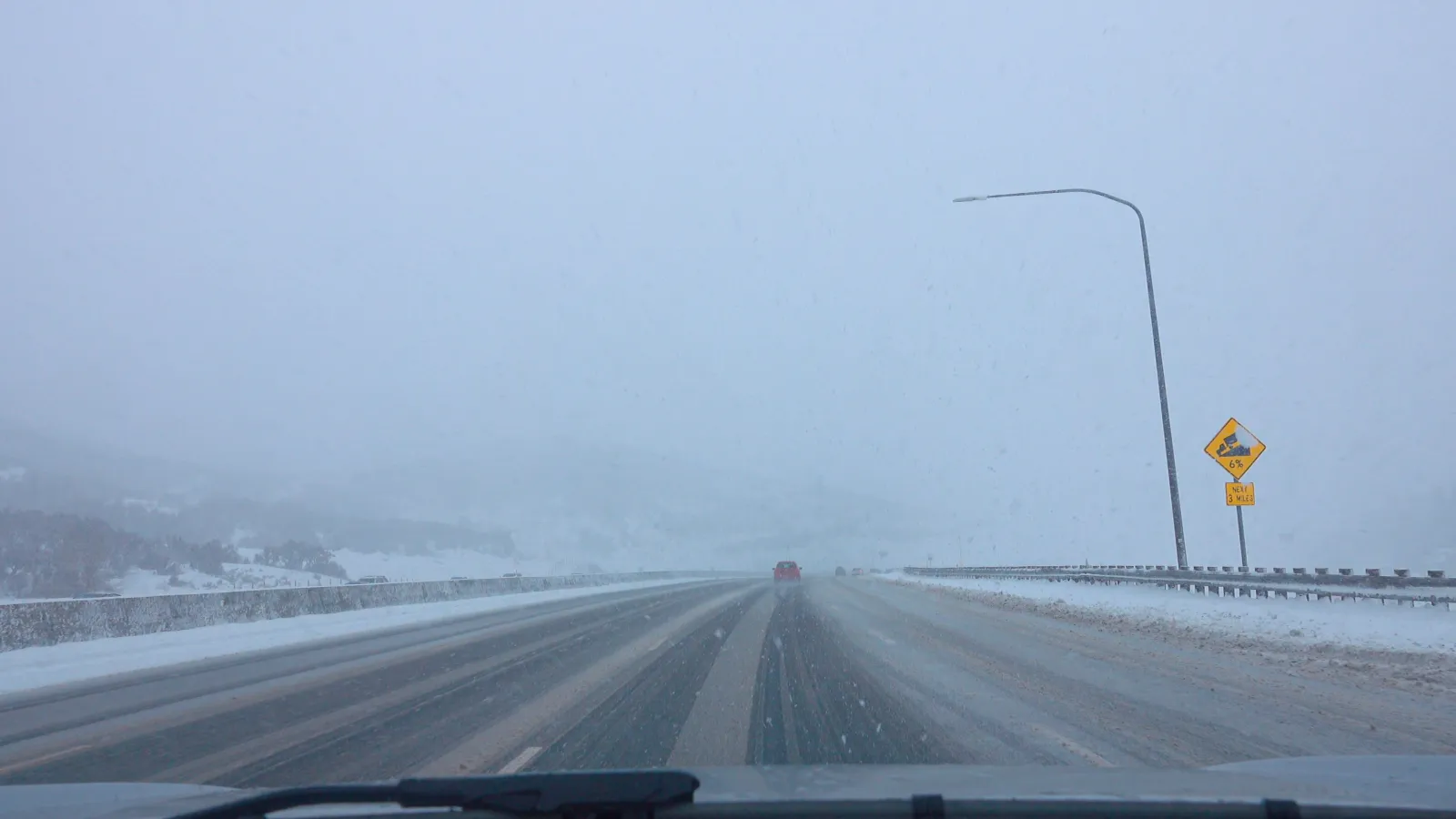
The National Weather Service (NWS) office in Salt Lake City, Utah, issued a winter storm watch early Wednesday morning ahead of the incoming storm system. The winter storm watch will remain in effect through Friday afternoon for the Wasatch Mountains, Western Uinta Mountains, and Central Mountains, and it warns of heavy, travel-disrupting snow beginning early Thursday.
NWS meteorologist Phil Ware told Newsweek that it's likely at least a portion of the watch area will be upgraded to a winter storm warning later on Wednesday. He said the biggest concerns will be snow-covered mountain passes, which could cause travel disruptions.
Read More on Weather
The storm is likely to create hazardous conditions on mountain routes—including Mirror Lake Highway, Logan Summit, Alta and Brighton—where traction restrictions may be required. A brief lull is expected Thursday afternoon before snow redevelops overnight, and drivers are urged to monitor conditions and check real‑time updates from Utah transportation officials.
"We also need to consider the avalanche danger as well, but that's a little more uncertain at this point," he said.
...
Forecasters say the Upper Cottonwoods could see the heaviest totals of up to 20 inches, with a cold front triggering periods of intense snow followed by additional wraparound bands into Friday morning. Between 6 and 14 inches are expected elsewhere within the watch area.
"A period of accumulating snowfall, heavy at times, is expected to accompany a cold front passage Thursday morning," the winter storm watch said. "Accumulating snowfall is expected to produce travel disruptions, especially for mountain routes. A lull in activity is expected Thursday afternoon before wrap around showers move back into the region late Thursday into Friday morning."
Winter Storm Warning vs. Winter Storm Watch
NWS meteorologists issue a winter storm watch when conditions may lead to significant snow, but forecasters are still tracking the system’s development and the exact totals remain uncertain. It signals elevated risk but not a confirmed imminent hazard.
A winter storm warning, on the other hand, is issued when severe winter weather is either ongoing or expected very soon. This designation means high‑impact snowfall is imminent, and residents should be prepared to take action to stay safe.
As of Wednesday morning, Utah remains under a winter storm watch, meaning heavy snow is likely—but snowfall timing and peak impacts are still being refined as the storm approaches. It's possible forecasters will upgrade the alert to a warning later this week as the storm gets closer.
Meanwhile, much of the state is also under a winter weather advisory as of Wednesday morning. Up to 9 inches of snow is set to fall across a widespread region of the state, beginning near St. George in the southwestern part of the state and stretching up near Salt Lake City.
View 0 Comments
Submit Correction
View Editorial & AI Guidelines