...

By Anna Skinner
Associate News Editor
0
Share
Newsweek is a Trust Project member
See more of our trusted coverage when you search.Prefer Newsweek on Googleto see more of our trusted coverage when you search.
National Weather Service (NWS) meteorologists issued a fresh batch of winter weather advisories for the Northeast on Wednesday ahead of a late-season system that could bring mixed precipitation, including snow and ice, across the region later this week.
Winter weather alerts spanning five states warn that a fast‑moving system may bring a mix of snow, sleet and ice capable of creating hazardous travel conditions from Thursday evening through Friday. Advisories have been issued by NWS offices across the region and warn of winter weather impacts in Connecticut, Massachusetts, Rhode Island, Vermont and New York, where up to 2 inches of snow and sleet and accumulating ice are possible. Forecasters caution that even light accumulations could make roads slick during both the evening and morning commutes, urging residents across the region to slow down, plan for delays and prepare for rapidly changing conditions.
Of biggest concern is the sleet and freezing rain, NWS meteorologist Hayden Frank told Newsweek.
Read More on Weather
"That's the main impact we are going to see, especially as you get north of the Massachusetts Turnpike and into the higher terrain," he said.
...
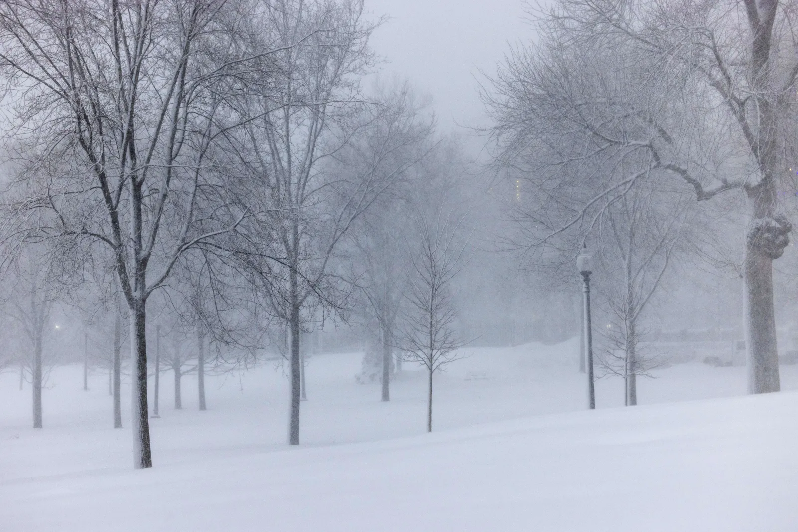
The potential incoming winter weather conditions follow a significant blizzard that buried the Northeast under as much as 3 feet of snow in some locations.
"Precipitation begins Thursday afternoon as mainly rain, changing over to a wintry mix of sleet and freezing rain, with some snow across northern areas," NWS Albany said in the winter weather advisory issued on Wednesday. "The wintry mix tapers off Friday morning. The highest ice amounts of locally around a quarter of an inch are expected across the southern Adirondacks and the high terrain of western New England."
Many of the alerts go into effect from 5 p.m. to 7 p.m. local time Thursday.
"Travel could be very difficult, with tree and powerline damage possible. The hazardous conditions could impact the Thursday evening and Friday morning commutes," NWS Boston said.
In some cases, the alerts warned of possible injury. "Be prepared for slippery roads. If you are going outside, watch your first few steps taken on stairs, sidewalks, and driveways," NWS Albany said. "These surfaces could be icy and slippery, increasing your risk of a fall and injury."
By the weekend, temperatures are expected to reach the 40s and 50s, so the storm's impacts could be short-lived.
Elsewhere, above-average temperatures are sweeping across much of the country, with as many as 150 high-temperature records at risk of being broken in a span of 24 hours later this week. Meanwhile, winter weather advisories and winter storm watches have been issued across parts of the West as they may also face snowfall later this week, although heavier amounts, in some cases nearing 2 feet.
View 0 Comments
Submit Correction
View Editorial & AI Guidelines