...

By Anna Skinner
Associate News Editor
0
Share
Newsweek is a Trust Project member
See more of our trusted coverage when you search.Prefer Newsweek on Googleto see more of our trusted coverage when you search.
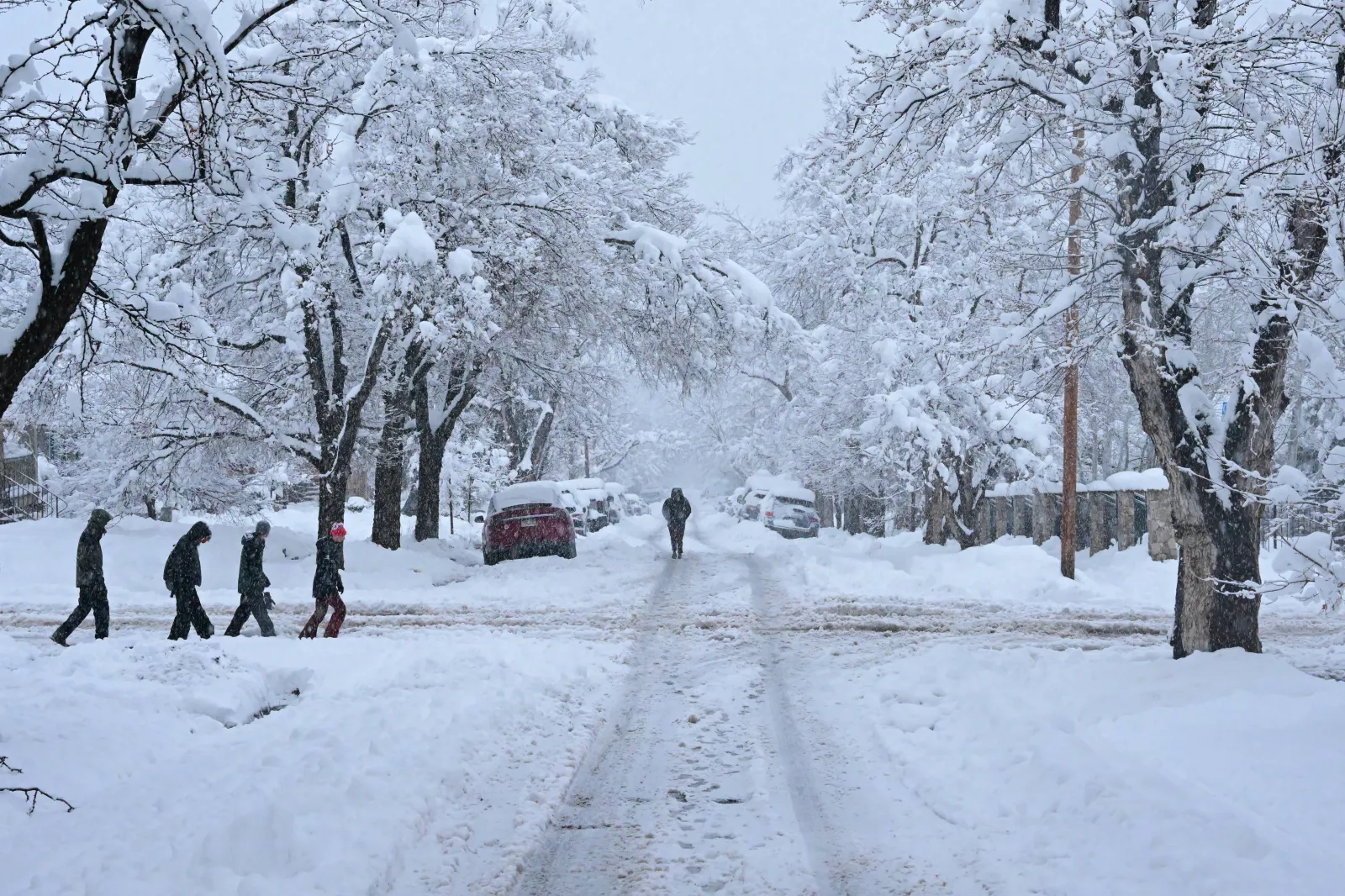
Heavy snow is set to hit two states on Thursday, prompting National Weather Service (NWS) meteorologists in the impacted areas to issue winter storm warnings alerting people to the "dangerous" conditions.
A powerful winter storm is bringing dangerous conditions to mountain regions of Montana and Colorado, where up to 2 feet of snow and strong winds are expected to create hazardous travel conditions through Friday. The NWS has issued multiple winter storm warnings across high‑elevation areas, home to around 42,000 people, warning that travel may become very difficult or impossible as heavy snow accumulates. Given the heavy snow will be wet, meteorologists also warned of possible power outages.
"Travel could be very difficult and tire chains may be required for some vehicles," the NWS office in Great Falls, Montana, said in the winter storm warning. "Those in the backcountry should ensure they are prepared for dangerous conditions."
Read More on Weather
...
Colorado Winter Storm Warning
A Winter Storm Warning is in effect from midnight Thursday night to midnight Friday night for the high mountain zones of northern and central Colorado. Affected areas include Rocky Mountain National Park, the Medicine Bow Range, Summit County mountains, the Mosquito Range, the Indian Peaks, and surrounding high terrain, including major mountain passes such as Berthoud Pass, Cameron Pass, and the Eisenhower Tunnel.
Snow totals between 6 and 14 inches are possible, with the heaviest amounts expected from Berthoud Pass northward. Winds may gust up to 40 mph, potentially causing blowing and drifting snow and making Friday morning and evening commutes hazardous.
NWS meteorologist Bruno Rodriguez told Newsweek that as far as the lower elevations were concerned, the highest accumulations could be between 2 to 6 inches along I-25 between Denver and Colorado Springs.
"Travel could be very difficult. The hazardous conditions will impact the Friday morning and evening commutes," the winter storm warning said.
Montana Winter Storm Warning
Multiple Montana mountain ranges are under winter storm warnings through 11 a.m. MST Friday, with one additional warning in effect until 3 p.m. Thursday afternoon.
- Absaroka/Beartooth Mountains (including Cooke City)
These areas are forecast to receive 1 to 2 feet of snow, accompanied by wind gusts up to 35 mph. Travel may be extremely difficult, and widespread blowing snow may sharply reduce visibility. - Crazy Mountains
Expected accumulations reach up to a foot of snow, with winds gusting as high as 40 mph, creating similarly hazardous travel conditions and reduced visibility. - Gallatin and Madison County Mountains and Centennial Mountains (including West Yellowstone, Big Sky, Targhee Pass, and Raynolds Pass)
This warning remains in effect until 3 p.m. MST Thursday. Additional accumulations include 3 to 8 inches below 7,000 feet and 8 to 15 inches above 7,000 feet, with gusts up to 35 mph. Heavy, wet snow may also cause isolated power outages.
People living or traveling through the impacted areas are encouraged to monitor the latest weather forecast for updates. Meteorologists said that if someone must travel during the winter storm, they should keep an extra flashlight, food, and water in their vehicle in case of an emergency.
View 0 Comments
Submit Correction
View Editorial & AI Guidelines